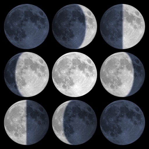
Calculate sunrise, sunset, moonrise, and moonset times based on GPS location or selected locations. Track moon phases and twilight times. Save multiple locations and sync calendars for upcoming events. Support timezone selection and iPad Split View.
The app offers over 25 categories and 450 units for conversion, including 150 currencies. It supports 24 languages and is designed for iPhone, iPad, and iPod touch.
Navigate with precision and explore trails efficiently
Navigate with multiple styles, including analog and digital interfaces. Set and track waypoints, view elevation data, and receive turn-by-turn guidance. Sync with GPS devices and share route maps.
Determine current location using GPS. Check real-time weather conditions including temperature, precipitation, and wind speed. View hourly forecasts and severe weather alerts. Share location-based weather data with others.
Helps users find Polaris or Sigma Octantis for polar alignment. It displays current direction, elevation, latitude, longitude, and altitude. Users can check alignment status and adjust setup accordingly.
Locate nearby towers on a map with visual markers. Tap towers to view details about their signal strength and carrier. Use the map to find optimal signal areas and improve connection quality.
View a live map showing 3G, 4G LTE, and 5G towers with details on operator, distance, and type. Locate nearest towers and check network coverage details.
Pay government notices, postal notes, and MAV/RAV slips by scanning QR codes or entering data manually. Pay car tax by selecting vehicle type and entering license plate. Securely process payments for various government fees.
Monitor network connections in real time across Wi-Fi, VPN, and cellular interfaces. View IP addresses, geolocation, ASN, and provider details. Track active connections and switch networks seamlessly.