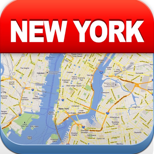
View maps of New City, including subway and airport routes. Navigate using real-time GPS without internet. Bookmark addresses for trip planning. Access top attractions and explore without data usage.
Record and display GPS-based measurements with a map line. Share results on social media. Obtain current location via GPS. Option to minimize battery use without GPS. Does not run in the background.
Explore destinations with detailed offline guides for museums, landmarks, and parks. Search for points of interest, read traveler reviews, and access maps and directions. Save favorite locations and receive notifications about nearby attractions.
View real-time bus locations and time predictions for Georgia Tech Stinger and Tech Trolley. Receive push notifications for delays and closures. Search for campus buildings and view their footprints.
The app provides digital maps of Austria with hill shading and object names. It includes topographic maps and offers functions like searching by name or coordinates, GPS features, and measuring distances.
Plan trips with offline maps, detailed directions, and attraction information. Browse insider tips and user-generated content. Book hotels and read restaurant reviews. Access travel guides without an internet connection.
View the map and zoom in or out. Search for addresses and add locations to contacts. Find directions and view nearby businesses. Switch between street, satellite, and hybrid views.
Save places from Instagram reels and convert posts into travel itineraries by extracting mentioned locations. Explore curated official for global destinations. Download for offline access and view saved locations on a map.
Explore attractions with an interactive map and detailed descriptions. Find museum hours, event schedules, and garden locations. Navigate the with turn-by-turn directions. Learn about historical landmarks and cultural exhibits.
Plan trips by booking hotels and reading restaurant reviews. Access offline maps for directions and explore attractions with detailed guides. View user-generated content and insider tips for popular locations.
Determine UTM references, hemisphere, and WGS84 coordinates. Display device accuracy readings. Share location via Twitter. Includes USA UTM zone guide.
Navigation provides offline global maps for iPhone and iPad. Users can draw routes, view elevation profiles, and access detailed terrain maps without internet. Hikers and cyclists benefit from specialized route networks and clear map details.
"Find plug types, sockets, and adapters for over 200 locations. Search by name, map, or automatic location detection. View currency information. No internet required for use."
Browse official subway and train maps with high-quality images. Switch between maps, search for stations by name, and zoom with pinch-to-zoom. Load maps instantly and use multi-tasking to close and reopen the without reloading.
Navigate trails with detailed maps of 365+ systems and mud parks. View satellite imagery and add custom markers. Search for trails, cities, and points of interest. Record and share rides. Import trails in .kml, .kmz, and .geojson formats.