Displays altitude, coordinates, and speed with options for metric or imperial units. Shows accuracy and warns about signal issues. Offers aircraft mode with in feet. Compares current altitude with known values. No ads or data collection.
Manage vehicle logs and driver records with FMCSA-compliant ELD and HOS features. Track vehicle maintenance with DVIR and IFTA tools. Monitor driver and truck data remotely. Access fleet management through a web account.
Uffizio India Software Consultants Private Limited
Track buses in real-time and stay informed
Track school buses in real-time to inform parents of arrival times and reduce waiting periods. Set notifications for school managers upon bus arrival. Monitor student safety by tracking bus locations and weather conditions.
Track vehicle movements with real-time data including location, speed, and fuel consumption. Receive alerts for geo-zone entries, speeding, theft, and emergencies.
The app provides offline topographic map coverage of New Zealand's South Island. It includes satellite images, elevation data, and integrated data for various outdoor activities.
Manage vehicle operations with real-time GPS tracking, live video feed, and detailed reports on idle time, speed limits, and start/stop events. Monitor fleet performance, set state line alerts, and generate comprehensive vehicle analytics.
Track vehicle and asset locations in real-time. Set geofences to receive alerts on movement or boundary crossings. View historical data and receive notifications for activity changes. Monitor equipment and valuable items remotely.
View real-time camera and map views with markers and up to 8x zoom. Adjust orientation for navigation. Track bearings for land, sea, or air travel. Sync with devices for accurate directional guidance.
Monitor vehicle locations in real time with exact addresses and travel details. Receive instant alerts for geo-zone entries, speeding, theft, and SOS emergencies. Access historical data and generate reports on driving hours, distance, and fuel usage.
Manage business operations with real-time fleet tracking and paperless documentation. Process payments and generate invoices online. Automate quote conversions with a streamlined checkout. Dispatch routes intelligently to reduce errors.
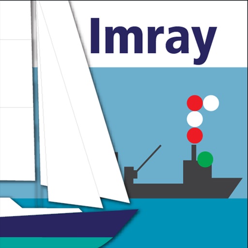
The app provides a reference for maritime rules and signals, including steering, lights, sound signals, and distress signals. It also covers buoyage systems, flags, radio calls, and life-saving communications with learning cards for content review.
Monitor vehicle locations in real time and manage groups of vehicles. View alerts for violations and geofence breaches. Hide or show specific vehicles. Track movement history and receive notifications for unauthorized activity.
Track bus locations, routes, and estimated arrival times with real-time updates. Search for buses or routes with a cleaner interface and more map space. Submit feedback on ETA accuracy to improve service.
The app provides access to Blue Sky Network's solutions in an integrated and user-friendly way. Users can manage their fleet on one map, send messages to assets, and send dynamic forms.