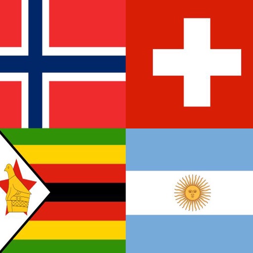
Explore of countries grouped by region. View with dates indicating their official use. Access for countries that had multiple designs during conflicts or divisions.
by Adrian Strzelewicz★ 4.9125 ratingsEducationFreeData updated 2026-09-06
Test your knowledge with over 5000 questions across four difficulty levels. Review over 2000 images related to . Identify weak areas after each . Compete in worldwide rankings and access an encyclopedia of German facts.
Allows users to test knowledge on Mexican with topics like locations, capitals, and flags. Custom quizzes let users select specific and topics. Results for each state are shown to track progress. All content is free with optional ad removal purchase.
The app offers four distinct country list views: sorted by name, ISO number, country code, or grouped by type. It displays key attributes and details from Wikipedia for each country, with user-friendly navigation and a professional design.
Explore historical maps of the western from 3000 BCE to 500 BCE. Zoom and pan across regions from the Mediterranean to India. Access pop-up info on countries, cities, battles, and roads. View yearly map changes.
Explore sites in Portsmouth, Ohio, and the Appalachian region through interactive maps. View detailed information about each location, including historic images and archival content.
Play a puzzle game to earn points and collect "Eyes" for the strategy game "Capture The Flag." Compete in multiplayer "Capture The Flag" to conquer more "Eyes." Both games include animated tutorials.