Track sun and positions on an AE map. Observe their 28-day cycle and seasonal movement between Tropic of Capricorn and Cancer. Explore celestial mechanics through conceptual time and sky visuals. Share location-based observations with friends.
Explore country profiles with population, languages, government, and GDP data. Access high-resolution and regional views. Download national flags and offline. Search for locations and view detailed geographical information.
Watch streams from public webcams worldwide. Browse an interactive 3D map of to select cameras. Explore locations like city streets, beaches, and landmarks. Access popular streams directly from the .
View population growth projections for all countries under various scenarios. Track current and future overshoot levels. Explore sustainable population limits. Access country-specific solutions to . Compare demographic trends and resource impacts.
Calculate estimated pay based on service years, rank, and branch. Input personal data to generate pay estimates. Securely store information without tracking or sharing. Provide detailed breakdowns of benefits and calculations.
Receive real-time earthquake alerts via push notifications based on location and magnitude. View interactive maps with colored circles indicating event magnitude and age. Track earthquake timelines for today and yesterday.
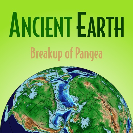
Explore geological timelines with interactive maps showing continent movements. View animations of Pangea breakup and mountain formation. Learn about key events in history through detailed illustrations and timelines.
Determine direction using a digital . Display azimuth at the top of the screen. Navigate while hiking or traveling. Indicate north, south, east, and west. Show magnetic field orientation.
Explore country maps with detailed location data and access comprehensive fact book information. Search for country-specific details, view retina vector maps, and navigate between locations with intuitive zoom and pan features.
The app provides facts about countries and territories. Users can explore data on over 300 countries and territories, including details on their geography, population, and economy.
Access detailed information on 170+ countries including population, area, geographic coordinates, government, capital cities, economy, languages, culture, and history. Quick-view features allow users to compare data and explore facts efficiently.
Explore geological processes and ecological systems through an interactive 3D model. Manipulate tectonic plates, simulate volcanic eruptions, and observe erosion over time.
View historical imagery from specific dates to observe changes in urban and natural environments. Compare current and past views using Google View and Apple Look Around. Access world imagery basemaps for detailed geographic analysis.