Plan flights with AI-driven weather analysis and global airfield data. View METAR and TAF reports. Use hands-free mode to listen to briefings. Set flight routes and check airspace restrictions. Sync with aviation databases for real-time updates.
by Alexandre Menai★ 5.02 ratingsNavigation$1.99Data updated 2026-09-06
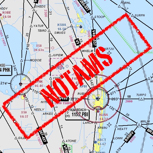
Assists pilots with interpreting NOTAMs, METARs, TAFs, and Area Forecasts. It decodes acronyms and contractions for both inflight and ground use. Users can search for details and weather reports.
Access procedures, track flights, and navigate globally
Access international procedures and aviation resources for pilots. View electronic plotting charts, navigate global routes, and reference cockpit guidelines. Download updates and manage flight data securely.
Check real-time forecasts and wind speeds at various altitudes. Access KP index and customizable limits. View no-fly zone maps and wind compass directions. Receive pre-flight reports to identify potential hazards.
Find fueling from brands like Loves, Petro, and Flying J in the US and Canada. View RV facilities, street addresses, and interstate exits. Check weather, search locations, and access company websites.
Plan flights with detailed weather data, airport information, and NOTAMs. Overlay georeferenced charts on aviation maps. Access IFR and VFR plates for over 200 countries. Manage and download airport plates in advance.
The app uses the device camera to overlay live video with markers showing nearby airports. It provides aviation weather, airport information, and flight planning capabilities.
The app provides aviation weather information for Germany and Europe. It includes METAR, TAF, meteograms, cross sections, weather warnings, and forecasts up to 78 hours.
Monitor weather conditions along your route with real-time , TAF, and SIGMET data. Access satellite imagery, radar, and 3D terrain. View NOTAMs and historical data for offline reference. Track storm warnings and flight visibility reports.
Check vehicle status and control functions remotely. Plan trips with navigation and map tools. Book service appointments and access e-mobility features. Sync with vehicles for real-time updates.
Track flights, view aircraft, and monitor destinations
Track real-time flight data for AIRLINES, including destinations, aircraft models, and flight speeds. View flight paths and radar maps. Receive notifications about departures and arrivals. Explore aircraft details and pilot perspectives.
The app supports S-57, S-63, iENC, and BSB/KAP chart formats. It includes features such as predicted vessel display, docking aids, and NMEA/AIS record and playback.