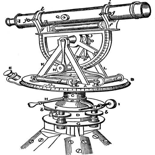
The app converts between geodetic and grid coordinates. It supports multiple formats for latitude, longitude, and grid coordinates, along with various datums and projections.
Create videos quickly with an AI script generator that turns simple ideas into full scripts. Use a for smooth recording, add AI-generated captions, and replace backgrounds with green screen tools.
Perform calculations with a live voice input feature. Use an ergonomic key layout with an extra large "+" key and backspace function. Copy and send results via email. Support Retina displays on all iPads and iPhones. Enable Dark Mode.
The app converts coordinates to UTM EGSA87 Datum and calculates polygon area in square meters. It sends measurements via email in DXF, KML, or TXT file formats for use in various applications.
Create QR codes from text, URLs, emails, phone numbers, and SMS. Save, email, or share QR codes. Access a history tab to view and reuse previous codes. Export options include photo library, notes, and sharing.
Securely store and hide sensitive documents and files with encryption. Set custom passwords and fake codes to restrict access. View hidden content through a shared code. Lock and unlock files with a passcode.
Customize with nearly 125 trendy fonts and symbols directly on the keyboard. Create mixed styles and access new GIFs. Search quotes by mood and use them in messages.
Record data with pre-designed templates for engineering, office, and field use. Automatically fill in time, location, weather, and device info. Add custom watermarks and save entries with timestamps.
Scanned images to editable with automatic border detection and perspective correction. Import photos from Camera Roll, crop selected areas, and edit recognized . Copy, share, or send via multiple methods. Supports English only.
Navigate using precise latitude and longitude coordinates. View real-time sunset and sunrise times. Use integrated flashlight to illuminate paths. Track location for outdoor activities.
Add watermarks to photos, videos, and other media. Include customizable elements like text, images, logos, and location data. Adjust size, color, and style of watermarks. Create and save templates for repeated use.
Read QR codes and barcodes with autofocus and manual focus. Open Safari, make calls, send emails, and save contacts from scans. Copy text, share via Twitter and Facebook, and scan from photos. Create QR codes from contacts, emails, and phone numbers.
Measure distances between locations by pinning points on a map. Track real-time distance using GPS with a timer. Switch between metric and imperial units for distance measurements.
Find latitude and longitude coordinates of your current location in decimal degrees and degrees-minutes-seconds. Tap coordinates to copy to clipboard. Save coordinates with a custom name. Share coordinates via email or messaging.