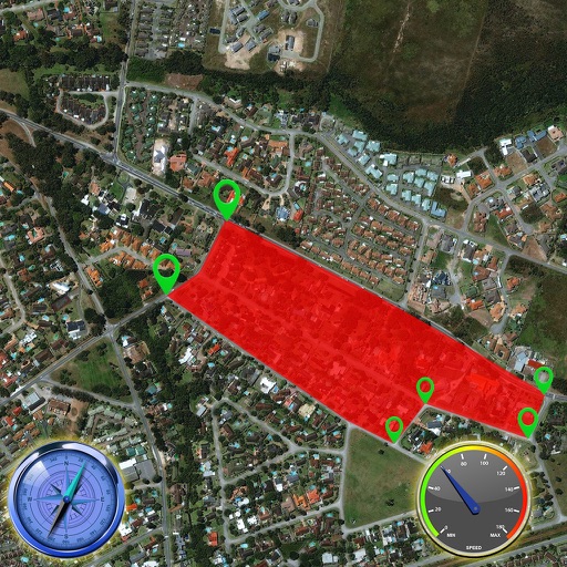
The app provides offline GPS navigation for hiking and mountaineering, displaying the user's location on topographic maps. It allows users to record their routes and works without cell service.
Locate yourself on OS maps using GPS and compass. View current grid reference and heading. Convert coordinates with OSTN02 for accuracy. Track easting, northing, and tetra. Includes Apple Watch and complication.
The app records measurement data including distance, time, and altitude. Users can view recorded data on maps, create notes, and export information in various formats.
Allows users to define harvesting areas and stream boundaries using ArcGIS map data. It supports iPad with GPS boosters for location tracking. Users can manage map layers and attributes for forestry planning.