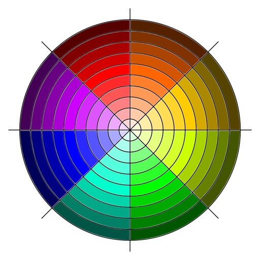
The app transforms an image mapped to the complex plane using a complex function parser. Users can select predefined images or import their own, then export or share the resulting image.
Display current for any city or address with a slideshow of personal photos. View in 12, 24, and military formats. Adjust slideshow settings and select photos from an album. Search locations by name, address, or postal code.
The app enables pilots to operate a Flight Management System via a mobile device. It connects wirelessly to a server system, offering new ways to view flight information and supporting multiple devices.