Track flight paths and monitor navigation accuracy
Monitor flight paths and avoid GPS-denied areas. Set waypoints and track altitude. Receive real-time alerts for navigation anomalies. Sync with flight planning software for accurate route adjustments.
by Aircraft Performance Group, LLC★ 5.02 ratingsNavigationFreeData updated 2026-09-06
Access real-time weather data for flights. Create or modify flight routes. Retrieve preflight and inflight weather briefings. View enroute conditions. Share weather information with pilots. Sync with iPad for aviation-specific weather updates.
Explore outdoor routes and points of interest with layered maps. View IGN maps, aerial photos, and OpenStreetMap for hiking and . Access Spain and Swiss maps, emergency call coverage in France, and winter trail information.
The app provides a tail number search program that functions in the air. It includes a compressed FAA registration database, eliminating the need for a cell signal or WiFi.
Calculate flight performance with wind and density altitude inputs. Perform fuel burn calculations and determine true airspeed. Convert units and view flight path diagrams. Save and share flight plans.
Navigation provides flight planning and in-flight calculations. Users can customize quick access buttons, configure units, and adjust keypads. Features include real avionics look, flight data entry, and performance calculations.
The app displays over 15,000 take-off and 4,000 landing sites on an interactive map. It includes public transport data for Switzerland and integrates worldwide webcam feeds for weather observation.
The app offers multiplatform access for logging flight data, including aircraft, airfields, and flight times. It provides features like ADS-B lookup, auto-night calculation, and live flight recording with GPS logging.
Calculate rest periods for airline crews by inputting takeoff time and duration. Determine landing time and split work and rest intervals based on regulatory requirements. Track compliance with rest period guidelines and manage schedules efficiently.
Plan and manage flight schedules with real-time pairing data. View and download line and pairing packages for specific aircraft and crew bases. Select and assign awarded lines. Track pairing times in local time without timezone conversions.
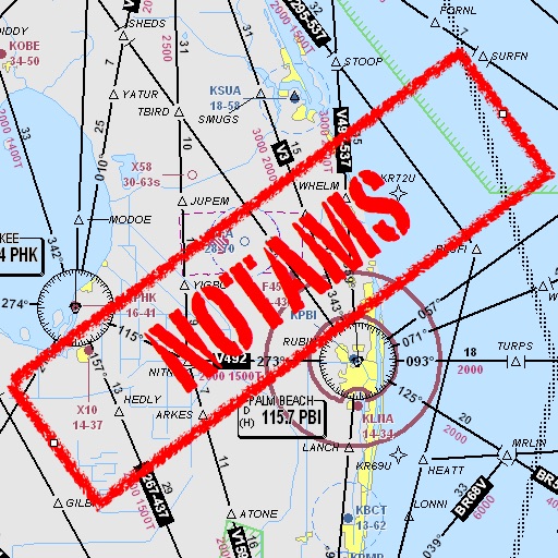
Assists pilots with interpreting NOTAMs, METARs, TAFs, and Area Forecasts. It decodes acronyms and contractions for both inflight and ground use. Users can search for details and weather reports.