Track flight paths and monitor navigation accuracy
Monitor flight paths and avoid GPS-denied areas. Set waypoints and track altitude. Receive real-time alerts for navigation anomalies. Sync with flight planning software for accurate route adjustments.
by Aircraft Performance Group, LLC★ 5.02 ratingsNavigationFreeData updated 2026-09-06
Track flights with real-time aircraft positioning on an interactive map. View details including airline, number, times, altitude, speed, and heading. Access AI-generated aircraft visuals for realistic representation.
Calculate flight metrics for Beechcraft aircraft including takeoff, landing, climb, cruise, descent, and instrument procedures. Include turbonormalizer and tip tank options. Compute emergency glide distance with wind adjustments.
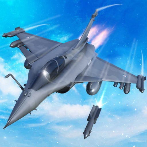
Train pilots for air combat missions. Customize jets with upgrades. Manage squad formations and tactics. Execute airstrikes on enemy positions. Track progress through mission-based challenges. Unlock new aircraft and weapons.
Access trip documents, itineraries, and flight information digitally. View and organize travel details, retrieve boarding passes, and manage travel alerts. Sync with devices for real-time updates and navigate through trip components efficiently.
The app displays aviation weather observations and forecasts using a maps-based interface. Users can view METARs and TAFs in coded or translated formats, with color-coded pins indicating forecast or observation availability.
The app calculates aircraft fuel for pilots, students, and ground crew. It supports Jet Fuel and Avgas, converting between Liters, Gallons, Kilograms, and Pounds.
The app displays detailed satellite imagery of the United States with offline map capabilities. It provides a moving map display using GPS tracking, labeling geographical features and points of interest.
Navigation provides flight planning and in-flight calculations. Users can customize quick access buttons, configure units, and manage blocks and airtime.
Allows pilots to plan, execute, and review missions offline. It includes tools for route inspection, search-and-rescue operations, and aerial surveys. Features include mission tracking, data logging, and cockpit-optimized interface.
Helps users manage fear of with guided breathing exercises and relaxation techniques. Tracks progress over time. Offers educational content about mechanics. Provides in- reminders and mood tracking features.