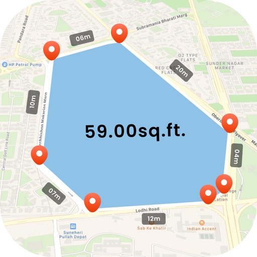
Allows users to define harvesting areas and stream boundaries using ArcGIS map data. It supports iPad with GPS boosters for location tracking. Users can manage map layers and attributes for forestry planning.
by MyShoppingHelper, LLC.★ 5.06 ratingsProductivityFreeData updated 2026-09-06
The app collects utility asset management and meter reading data using GPS/GIS mapping. It allows users to record locations, conditions, and attach photos to surveyed items, and import/export data for meter routes and readings.
The app identifies over 250 insects, diseases, and weeds. Users can take and share geo-located photos, access pest tracking data, and email scouting reports.
Collaborate with field workers via live video calls with real-time marking and sharing. Access AR-enhanced work manuals for interactive training. Share 3D models and annotations during remote support sessions.