Locate current position on Ohio roads using classification: County, Route, and Section. View map with assets and auto-refresh data as you travel. Export details via email. Works only on -maintained roadways in Ohio.
The app provides offline topographic map coverage of New Zealand's South Island. It includes satellite images, elevation data, and integrated data for various outdoor activities.
The app records car trips using GPS tracking and video capture. Videos include speedometer, map, and live audio, exportable to the photo library or viewable within the app.
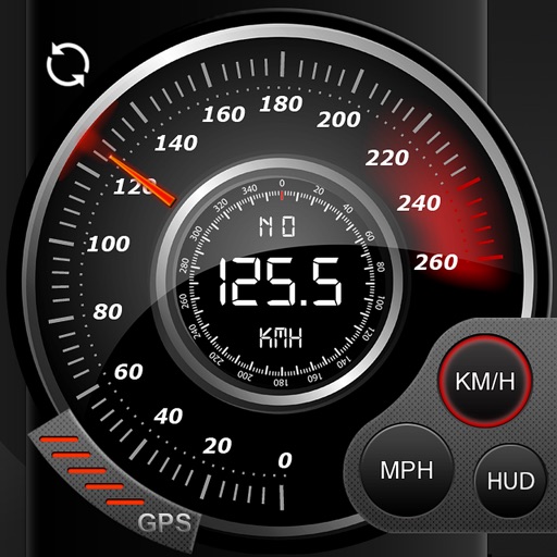
Record data including , average , distance, altitude, and elapsed time. View real-time GPS tracking with longitude and latitude. Monitor statistics and save history. Sync with devices for offline navigation.
Record outdoor activities like hikes, runs, or bike rides. Save and share tracks in GPX format. Compare recorded routes with planned tracks. Store tracks with custom data structures. Import GPX files for planned tours.
The app records GPS tracks, allowing users to save routes and add photos, videos, and voice notes to locations. Users can share routes with others, import GPX files, and navigate along recorded paths with real-time guidance.
Measure areas using GPS or manual map points for accurate calculations. Switch between and distance modes. Save measurements for later access. Use compass navigation for directional guidance.
View topographic of for hiking, camping, and outdoor activities. Choose between Base Map and Toporama sources. Download for offline use. Track location, elevation, and movement on the map.
Navigate using turn-by-turn directions for driving, walking, or biking. Add stops along the route. Search for destinations in map view, list view, or both. Toggle between views for easy route planning.
Monitor real-time GPS location and track historical data for up to 90 days. Set and manage geofence zones. View driver behavior and route repeats. Track expenses. Access a user-friendly dashboard for location and activity monitoring.