The app displays multiple time zones on a single analog clock face. Users can manage and organize time zones with custom labels and color-coded indicators.
The app records trips and displays tracks, position, and live information like speed and altitude. It measures distances, surface areas, and perimeters by placing points on the map.
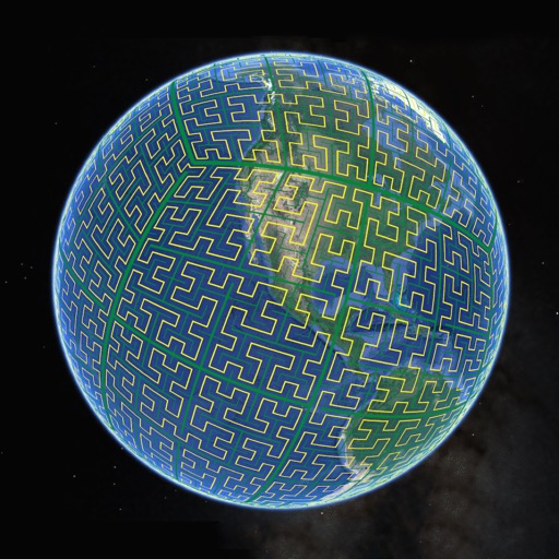
Display S2 cell boundaries globally. View cell IDs and compare with real-world landmarks. Integrate with Ingress Intel Map to check portals and stops. Ensure new submissions align with cell boundaries.
Find using GPS . Search for areas and retrieve accurate latitude and longitude. Switch between standard, satellite, and terrain map views. Calculate area measurements. Share via email or messaging.