The app provides live updates, push notifications, and event details for the GEM Altigliss Challenge, a student ski and snowboard competition in Val d'Isère. It includes weather, piste maps, competition schedules, results, photos, and videos.
Navigate using GPS, AIS Online, and radar. View charts for coastal boating, sailing, and fishing. Track tides and currents. Set anchoring points. Sync with Apple Health. Share routes and waypoints.
Learn and practice ski tricks with interactive tutorials and a trick dictionary. Challenge friends in slopestyle mode with scoring and competition features. Track progress and unlock new tricks through guided training sessions.
Follow live ski races with real-time updates, results, and video streams. Access exclusive content like athlete interviews and behind-the-scenes footage. Join a fan community to share updates and interact with other supporters.
The app offers a global trail database with route suggestions for various outdoor activities. Users can plan, record, and share routes, with features like navigation and real-time location sharing for safety.
Find Points of Interest with detailed categories including hotels, banks, toilets, tourist attractions, and more. View offline with stored routes. Search for locations and navigate using built-in directions.
V TECH TUNING S C MAREK SUCHARSKI TOMASZ PIROWSKI PIOTR OWCA
Log PWC data for optimum performance.
The app records onboard sensor data from Sea Doo watercrafts. Users can view real-time values and record data for later analysis on a server or as Excel files.
View snowfall totals for 24-hour, 3-day, and 7-day periods across New ski resorts on a map. Check base statistics for current and past dates by swiping left or right.
The app presents the Central Swabian Alb, a region offering nature, culture, and scenic villages. Users can explore karst landscapes through hiking, cycling, or horseback riding, with options for skiing and city walks.
Find riders heading to ski resorts. Split gas, toll, and wear-and-tear costs. Drivers get reimbursed. Passengers pay their share. Track trips and connect with other skiers and snowboarders. Share ride details and confirm destinations.
The app offers route suggestions from professional authors and maps from qualified cartographers for outdoor experiences. Users can download maps for offline use, plan their own routes, and record adventures.
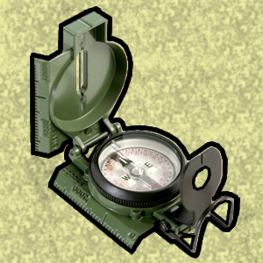
Enter MGRS or coordinate data to navigate to specific points. Adjust pace count and track deviations. View distance, speed, and angle settings in meters/km or feet/miles. Analyze movement patterns for navigation improvement.