

Apps Like FieldMove Clino for iPhone and iPad
Record orientation and location data
Record orientation data of planar and linear features using GPS and orientation sensors. Measure bearings and inclinations. Save and export data for analysis. Sync with devices for fieldwork efficiency.
FieldMove Clino screenshots
Ranked alternatives
Showing 121–140 of 1,000 ranked alternatives.


Gem Identifier gemstone AI
Fulminare Holdings LLC
Scan and identify minerals with AI
Scan rocks, gems, stones, or minerals to instantly identify them using AI. Upload or take photos for accurate results. Learn about properties, names, and characteristics of identified items.

FizziQ: Science Lab & Sensors
Christophe Chazot
Explore physics with built-in sensors
Record and visualize physical phenomena using smartphone or tablet sensors. Measure sound, motion, light, and temperature. Connect external sensors like micro:bit and Arduino for advanced experiments.


PlayerLync
PlayerLync, LLC
Manage content, deliver updates, sync devices
Manage employee information with real-time updates and personalized content. Access training materials, schedules, and operational guidelines. Receive automated notifications and updates. Sync data across devices for consistent access.

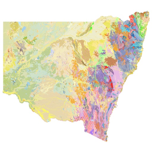

Geology Toolkit: AI Rock ID
Laurence Wayne
Identify rocks and get insights
Identify rocks and minerals by uploading photos. Get detailed descriptions of composition, texture, and origin. Explore geological insights about formations and their environments.


Nomad Geologist
Mohammed Tajer
Explore geology terms and concepts
Explore geology terms, concepts, and phenomena with definitions, visuals, and expert references. Chat with an AI assistant for answers. Unlock AI vision tools for analyzing geological samples. Connect with specialists and access accurate information.

FarmQA - Crop Scouting & more
FarmQA, Inc.
Analyze fields and track samples
Track crop health with field scouting and imagery analysis. Generate treatment recommendations and chemical prescriptions. Monitor samples and field data. Send digital reports via SMS or email.


iGeoTrans X
TRAN TRUNG CHUYEN
Record routes, collect data, track locations
Record routes from specific locations to survey sites and display them on a map. Measure distances between coordinates or map points. Calculate areas using coordinate lists or map selections.


GIS Kit
Garafa, LLC
Cache maps, view data, explore terrain
View and analyze geographic data offline without GIS software or training. Download topographic, street, and satellite maps. Import ESRI Shapefiles and KML/KMZ files. Display attribute fields like descriptions, photos, addresses, and dates.
geotimescale 2
DK Tasa, Inc.
Explore geologic time and events
Access geologic time scale data with a simple interface. View and scroll through eons, eras, periods, epochs, and ages. Select specific time divisions to see their names and numerical dates.


Unearth App
Procore Technologies
Capture field data instantly
Manage field operations with real-time data updates and team collaboration. Capture and map assets accurately. Access offline data storage. Share and update information across platforms. Track work progress with site-specific insights.

How we rank alternatives
Apps are ranked by functional similarity, category fit, rating confidence, and popularity.