Record orientation data of planar and linear features using GPS and orientation sensors. Measure bearings and inclinations. Save and export data for analysis. Sync with devices for fieldwork efficiency.
by Petroleum Experts Limited★ 4.022 ratingsProductivityFreeData updated 2026-09-08
Create and customize travel maps by marking visited countries, cities, and places. Add notes and photos to locations. Organize travel routes and collections. Track travel statistics. Share maps on social media.
Identify fossils from images using AI analysis. Provide detailed information about each , including species, age, and geological context. Allow users to compare findings, save discoveries, and access educational resources about paleontology.
Detect metals in your surroundings using sensor data. Display results in digital format. Trigger vibration alerts when metals are detected. View search history. Show true north, magnetic field strength, and device slope angle.
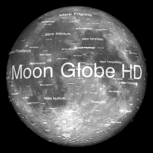
The app displays Earth's Moon in realtime 3D using satellite imagery and topographic data. Users can manipulate the view, switch to Telescope mode, and adjust the display time to observe shifting sunlight on the lunar landscape.
The app functions as a geological compass for geologists, measuring dip direction and angle of geological strata. It displays real-time device orientation in a stereographic projection and allows data transfer to a computer.
Monitor sensor data in real time including accelerometer, gyroscope, GPS, barometer, and compass. View detailed readings and generate graphs. Use decibel meter, metal detector, and other tools for environmental measurements.
Identify rocks, minerals, and crystals by scanning or uploading images. Access detailed information about each specimen. Learn about properties, formations, and uses. Compare findings with a database of geological samples.
The app provides detailed information on chemical elements, including atomic number, mass, and properties. It features a molar mass calculator and interactive visualizations, all accessible offline.
Digitize paper into digital formats for phones, tablets, and computers. Create or edit without coding. Capture data offline and sync when connected. Share and collect responses in real-time. Maintain original formatting or design new .
View celestial positions including sun and moon overhead locations, daylight coverage, and moon phases. Track rise and set times, parallactic angle, and lunar liberations. Display day and night maps in an azimuthal projection.
Calculate land using GPS coordinates. Draw shapes on maps to fields or plots. Add GPS stamps to photos with location, time, weather, and compass data. View live maps and magnetic information.
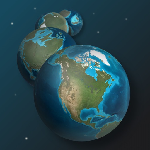
Explore Earth's geological history by visualizing continents, oceans, and climate changes over billions of years. Adjust time scales to view past landscapes, track sea level shifts, and observe planetary transformations.
Teaches recognition through sounds to quantities. Includes four lesson types for structured learning. Features four difficulty levels to target specific skills. Allows users to select lessons or generate random sets.
The app displays global earthquakes using animated graphics for a big picture view. It includes over 4000 years of historic earthquake data and current worldwide volcano activity, with details available for individual quakes.