Read articles and access the ePaper edition of The Jerusalem Post. Search for specific stories, bookmark pages, and share content via social media or email. Customize reading settings and view historical editions.
Plan trips by customizing daily itineraries based on interests and location. Browse real-time event feeds and upcoming local activities. Discover attractions and add them to personalized plans.
Plan trips by adding events and places to a custom itinerary. Browse real-time updates and upcoming events. Share plans with friends. View location-based recommendations and create personalized itineraries.
Explore St. with detailed guides on attractions, museums, and historic tours. Find restaurants, accommodations, and events. Access a calendar of local happenings. View high-quality photos of key locations. Navigate the city with maps and directions.
Monitor vehicle movement, ignition status, and location in real time. Send commands like messages and route instructions. View tracks with speed, fuel data, and other metrics on a map.
Track flights and airplanes with real-time updates. View live paths and receive instant updates. Access detailed information including departure and arrival times. Locate airports and monitor air traffic movements.
Explore historical content about using image recognition and geolocation. View video war stories, access multimedia exhibits, and navigate the site. Learn about key events and figures through interactive elements and detailed descriptions.
View tour details, including daily itineraries, hotel information, and transfer arrangements. Access destination-specific knowledge and local insights. Receive real-time updates and navigate with integrated maps.
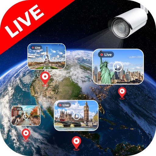
View feeds from global locations including landmarks, cities, and natural sites. Browse cameras by country. Adjust stream quality and save clips. Share streams via social media or messaging apps.
The app provides historical information about Spokane sites with images, videos, and audio clips. It is a collaborative project from Eastern Washington University's Public History Program.
The app provides real-time traffic and traveler information for South Dakota's highways. Users can view current traffic conditions, incidents, construction, and weather alerts on a map, with access to roadside camera feeds and DOT Twitter updates.