Navigate public transport with real-time schedules and planning. View interactive maps with pan and zoom features. Find nearby stops and transfer points. Get step-by-step directions for U-Bahn, tram, and bus routes.
Navigate with turn-by-turn instructions and real-time guidance. Choose routes for car, motorbike, bicycle, or walking. Add way-points for optimized paths. Locate nearby hotels, restaurants, hospitals, and ATMs .
Browse cities with detailed community guides and top 20 areas. Discover attractions like beaches, parks, galleries, and museums. Find local eateries with reviews and takeout options. Locate bars and wine venues. Use GPS to view locations and maps.
Plan trips to parks with downloadable , guides, and park brochures. Access 50+ parks, 80+ , 130+ campgrounds, 400+ trails, and 63,000+ points of interest. Download newspapers and park information for offline use in areas without Wi-Fi.
View detailed zoo with interactive animal locations. Search for specific animals and learn about their habitats. Plan visits with attraction highlights and ticket information. Get real-time updates on zoo events and animal feeding times.
Track travel locations by pinning spots on a map. Add titles, photos, categories, and notes to each pin. Save and organize discoveries for future reference. Share or export trip data as needed.
Track real-time and share it with friends. Copy coordinates and perform actions on . land area using GPS and calculation tools. Find routes with distance and direction calculations.
Find hiking , bike routes, and nature spots in major cities. Get turn-by-turn directions by foot, bike, car, or public transit. Download maps and guide content for offline use.
Locations with a single tap for precise GPS marking. Share saved locations with contacts. Access locations online or offline. View saved places on a map. Edit or delete saved locations.
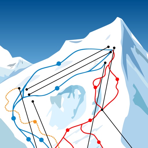
The app allows users to download ski resort trail maps to their iPhone. Users can utilize the built-in GPS to navigate slopes or track activities without an internet connection after downloading maps.