Track bus locations, routes, and estimated arrival times with real-time updates. Search for buses or routes with a cleaner interface and more map space. Submit feedback on ETA accuracy to improve service.
Track and mark wildlife such as big , fish, predators, small , and birds with a long press. Sort markers by time periods and save images for reference. Draw boundaries to identify property lines and store landowner information.
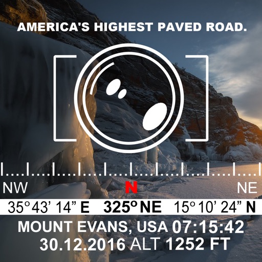
Track altitude with real-time measurements. Use a sensitive compass for accurate direction. Capture latitude and longitude data via camera. Monitor atmospheric pressure and magnetic field readings. Check real-time location data and sync with maps.