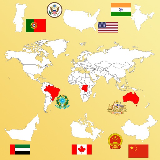
Access detailed information on 170+ countries including population, area, geographic coordinates, government, capital cities, economy, languages, culture, and history. Quick-view features allow users to compare data and explore facts efficiently.
View country flags instead of names on a map. Search for countries by and navigate to their locations. Track visited and planned destinations with color-coded lists. Display flags of visited and desired countries for easy reference.
Drive buses through detailed global maps with realistic interiors and 1:1 physics. Choose from diesel, hybrid, and electric buses. Customize vehicles and complete routes in various cities.
The app teaches geography using interactive maps. Users can learn, practice, or test their knowledge in various modes, including a customizable homework mode for accelerated learning.
COLREGs offers flag identification, weather scales, cloud recognition, sound signal guidance, and vessel light details. Users can access navigation , interpret flags, and understand sound and light signals for safe boating.
Learn about through quizzes on cities, countries, and flags. Guess cuisines and answer trivia about global cultures. Test knowledge on unique facts like ant-free continents and culturally sensitive gestures. Share scores and compete with friends.
Learn about European with interactive quizzes on topics like capital cities, flags, and population. Test knowledge on map locations, coat of arms, and country abbreviations. Customize quizzes to select specific and topics.
The app presents a memory matching game featuring over 200 world flags. Players tap to reveal flags and match pairs to clear the board, with country names appearing when flags are shown.
This reference guide objectively presents changes to Portuguese spelling resulting from the 1990 Orthographic Agreement. It was prepared according to the 5th edition of the "Vocabulário Ortográfico da Língua Portuguesa".