Navigation displays real-time telemetry data including location, heading, altitude, speed, distance, and elapsed time. Users can customize display modes, units, and configurations by tapping or long-pressing values.
Convert text to and decode incoming signals. Share decoded messages. the alphabet through interactive lessons and exercises. Track progress with daily practice. Test skills with quizzes and audio pattern recognition.
The app uses the iPhone camera to determine water quality. It estimates turbidity, suspended particulate matter concentration, and backscattering coefficient.
Displays real-time , average , and maximum with unit options. Provides sensor data for weather, altitude, and device orientation. Offers customizable dashboards and waveform charts. Allows saving and exporting historical data in CSV format.
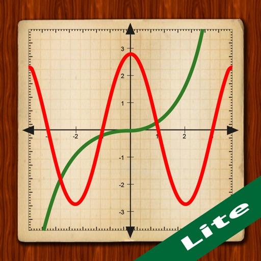
Scientific calculator with powerful graphing functions.
The app provides a scientific calculator with a history tape and graphing capabilities for up to four functions. Users can zoom, pan, and trace graphs, and view function values in a table.
The app uses Bluetooth communication with products for alarms, data transmission, remote control of pictures, and remote video. Continued use of GPS running in the background can decrease battery life.