
DriveLex
Slade Klinksiek
Track fire alerts and navigate safely
Receive real-time alerts about active fire calls in Lexington, KY. View incident details and locations. Navigate safely with updated fire information. Stay informed during emergencies.

Showing 241–260 of 1,000 ranked alternatives.
Slade Klinksiek
Track fire alerts and navigate safely
Receive real-time alerts about active fire calls in Lexington, KY. View incident details and locations. Navigate safely with updated fire information. Stay informed during emergencies.


Renji Mathew
Prague Airport flight tracking and radar.
The app offers live arrival and departure boards with flight tracking. It also features a sky radar to see active flights and an explore function for locations in and around Prague.



lijia xu
Find and follow saved locations AR
Navigation allows users to save locations using the red cross on a map. Users can retrieve saved locations by following a red arrow in Augmented Reality.

MmpApps Corp.
Learn the night sky constellations now.
The app helps users learn the 88 constellations in the night sky through a quiz game. Users can choose from three constellation sets and zoom in for a closer look.
金鹏 王
Check alerts and forecast
Check current and 16-day forecasts with 3-hourly intervals. Set notifications for specific times. View sunrise and sunset times. Quickly access today’s 3-hourly forecast.

Limosys LLC
Book and manage car reservations
Book and manage car reservations with GPS-based location tracking and recent address history. Edit or cancel bookings anytime. View instant status updates and make reservations for yourself or others.

Kinexa Inc
Track vehicles, optimize routes, manage safety
Monitor vehicle locations, speed, and other data in real-time via an interactive map. Plan efficient routes to reduce fuel use and delivery times. Track behavior and ensure ELD compliance with safety monitoring tools.

James Menzies
Information for Chesapeake Ohio Towpath Trips
The app provides information for trips along the Chesapeake and Ohio Towpath. It displays the user's current location and helps find amenities without a data connection.
American Battlefield Trust
Explore sites with GPS guidance
Travel "Navigate historical sites with GPS guidance. Access virtual signs for location-based information. View photos, videos, and audio accounts. Learn about Civil War events and locations."

Albuquerque Convention and Visitors Bureau, Inc.
Plan trips, add events, share itineraries
Plan trips by adding events and places to a custom itinerary. View upcoming local events and attractions. Share trip details with friends and family. Search for activities based on personal interests.

Sean Flanagan
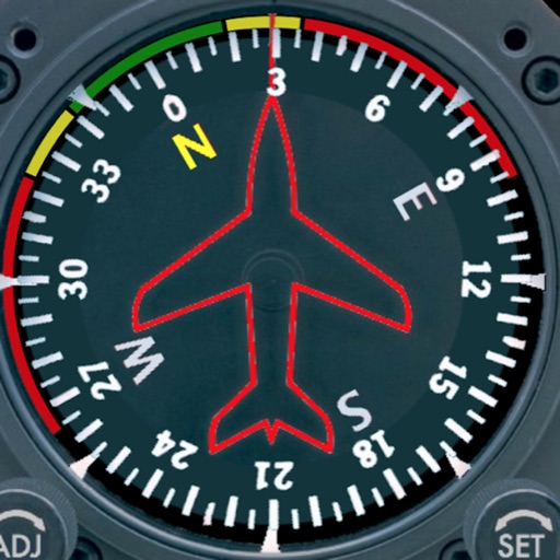
Track with realistic indicator
Displays a photorealistic -style indicator with both analog and digital readouts. Users can toggle rotation lock, simulate the instrument indoors, and view improved graphics. Supports latest iOS versions and includes bug fixes.

Limosys LLC
Book and manage car reservations
Book and manage car service reservations for travel. View and edit reservations, cancel bookings, and access GPS-based airport or recent address options. Track reservation status in real time.

Logic Design
Soaring navigation app for glider pilots.
The app supports glider pilots during competitions, cross-country flights, or recreational flights. It offers features like a final glide calculator, terrain map, and airspace warnings.

Logic Design
Navigate flights with real-time maps
Track flight paths and waypoints. Display real-time GPS data and altitude. Set navigation targets and receive turn-by-turn guidance. Monitor weather conditions and air traffic. Save and share flight logs. Sync with external devices for telemetry.
Apps are ranked by functional similarity, category fit, rating confidence, and popularity.