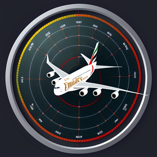
View turbulence forecasts, radar reflectivity, cloud top heights, and convective threat data. Plot flight paths using touch gestures or navaid inputs. Load existing flight plans with flight IDs. Share weather data with pilots and flight planners.
Displays altitude, coordinates, and speed with options for metric or imperial units. Shows accuracy and warns about signal issues. Offers aircraft mode with in feet. Compares current altitude with known values. No ads or data collection.
Track weather for multiple cities, including New York City. Receive clothing recommendations based on temperature and forecasted conditions. View updated weather icons and backgrounds. Refresh weather data every 10 minutes.
The app provides worldwide marine and outdoor maps, satellite imagery, and terrain overlays. It offers local marine weather forecasts, route planning, and track recording without mobile coverage.
Calculate hold-over time using FAA or Transport Canada guidelines. Input de-icing fluid types and select temperature units. Retrieve results instantly without manual lookup. Sync with electronic flight bag systems.