Manage health care by finding physicians and hospital locations. Access MyChart for patient records. Get walking directions within medical facilities. View room and department locations. Receive directions to healthcare locations.
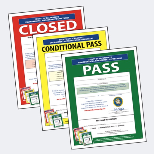
The app displays recent environmental health inspection results for retail food facilities in Sacramento County, California. It provides links to view the latest inspection report and history, with search options for nearby or named facilities.
Locate bus stops and view accurate departure times for routes. Search for line information, stations, and Rav-kav top-up locations. Get navigation directions using public transportation in Israel.
View and navigate updated -MAP charts worldwide. Explore, plan, and save Points of Interest and Routes. Use Autorouting to find optimal paths. Access chart layers and track progress. Share routes and points with others.
Locate nearby towers on a map with visual markers. Tap towers to view details about their signal strength and carrier. Use the map to find optimal signal areas and improve connection quality.
Search routes for accurate and optimized navigation. Use voice guidance for hands-free directions. Find nearby locations like restaurants and gas stations. Adjust simulated GPS locations for testing or privacy. Share current with contacts.
Navigation provides functionality for directional guidance. Displays current direction and . Tracks movement and offers map integration for route planning. Allows users to set waypoints and navigate between locations.
Find full addresses, zip codes, and location details by selecting points on a map. Retrieve latitude, longitude, time zone, and local time. Access raw data from a database.
The app provides updated metro maps and information for Beijing. It includes a route planner with detailed travel information and supports offline use in 11 languages across 53 cities.
The app provides access to health records and appointments through MyChart. Users can download the MyChart application for continued management of their healthcare needs.
The app provides updated metro maps and information for 53 cities. It includes a route planner with detailed trip information and supports 11 languages.
View subway maps for Atlanta, Baltimore, Boston, Chicago, Cleveland, Los Angeles, Miami, New York City, Philadelphia, San Francisco, and Washington. Fullscreen map with one click. Zoom using double click or two fingers. Move map with one finger.
Provide real-time updates including accidents, construction, and police presence. Notify users of upcoming speed limit changes and display current speed limits. Guide users with turn-by-turn directions and alternative routes to avoid delays.
Track and locate devices by number without requiring installation. View real-time , get directions, and set movement alerts. Share locations with contacts and receive notifications when devices move.