
Apps Like Map Map - Your Map on a Map for iPhone and iPad
Overlay photos on maps to navigate trails
Capture and import photos of maps or diagrams. Overlay images on Apple Maps for navigation. Track location within visual references. Save and share custom MapMaps. View detailed location markers and directions.
Map Map - Your Map on a Map screenshots
Ranked alternatives
Showing 441–460 of 1,000 ranked alternatives.

Measure Map GPS Field
Tigran Mkhitaryan
Areas and routes on the map
Distances, areas, and routes on maps using standard, satellite, terrain, and hybrid views. Calculate total area between points or along a route. Display coordinates in UTM and MGRS formats.

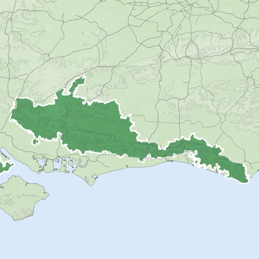




Pro Map Tools
GV Software Solutions Limited
Measure distances, share maps as images
Lets users measure distances and areas on maps. They can plot radius areas with specified centres and sizes. Share maps as images to show routes, areas, or radii. Adjust colors and export map views.

Globe 3D Earth: World Map Live
Shams Alam
Explore 3D maps and locations
View a 3D with GPS tracking and real-time compass. Explore locations with media features and video streams. Rotate, zoom, and navigate the Earth. Access location-based content and track movement.


Hawaii Ocean Map
Jorma Rodieck
Explore depths with high-resolution maps
Explore seafloor topography using NOAA's high-resolution bathymetry data. View underwater features like reefs, ledges, and channels. Access maps offline without a subscription.

Melbourne Rail Map Lite
Ansgar Vollmer Und Till Knorr
Clear and concise route map application.
The app provides a route map with a station index and line overviews. It includes day and night maps, GPS support to find nearby stations, and high-resolution graphics.

Mexico City Rail Map Lite
Ansgar Vollmer Und Till Knorr
Plan routes, view maps, find transfers
Navigate system with a detailed map showing lines, stations, and transfer points. Find fastest routes with a planner. Access a stations index for quick navigation. View line-specific station orders and transit options.




Climbing Pins
Ben Spannuth
Tag photos and track climbs with location
Upload photos to automatically generate location markers. Tag images with climb and area names. Explore photos within 100, 10, or 1 km. Find nearby climbs with additional details. Track approaches and add parking . Get driving directions.
How we rank alternatives
Apps are ranked by functional similarity, category fit, rating confidence, and popularity.