Apps Like Altimeter Pro - Elevation for iPhone and iPad
Navigate with altitude and accuracy
Displays altitude, coordinates, and speed with options for metric or imperial units. Shows accuracy and warns about signal issues. Offers aircraft mode with in feet. Compares current altitude with known values. No ads or data collection.
by dataWorks GmbH★ 4.79 ratingsNavigation$0.99Data updated 2026-09-18
A displays cardinal directions and uses GPS to determine location. It features a realistic virtual interface, shows geographical directions, and helps users navigate effectively.
BALLISTIC SOLUTIONS RESEARCH & DEVELOPMENT SOFTWARE SIARHEI RAICHONAK
Jet tune with engine data and fuel
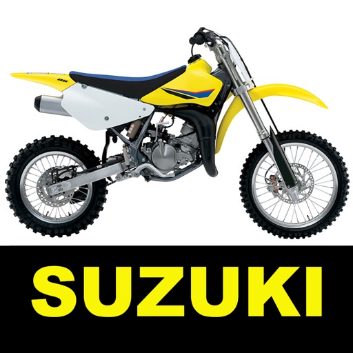
Adjust and spark plug settings for 4-strokes MX bikes with Keihin FCR carburetors. Input fuel type and engine configuration. Fetch real-time weather data including temperature, pressure, and humidity from nearby stations.
Determine current position using the Swiss Coordinate System . Display Swiss Ref, WGS84 Latitude, and Longitude. Show device-reported accuracy. Share coordinates via text, email, or clipboard.
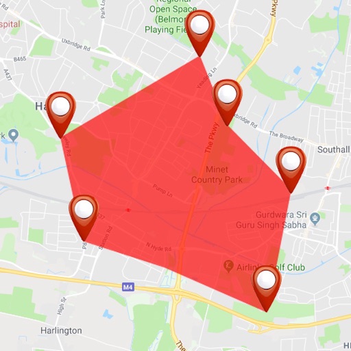
Measure land area, perimeter, and distance with precise calculations in feet, inches, yards, or feet. Display multiple plots on a map with intermediate distances. Overlay French land registry data for accurate plot measurements.
Calculates air volume, pressure loss, velocity, and duct size for rectangular or round ducts. Supports both imperial and metric units. Users input values to determine required dimensions and system performance.
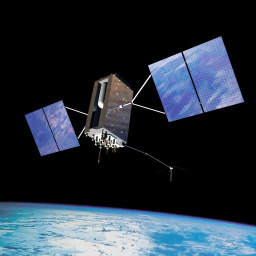
Calculate undulation using the EGM96 dataset. Input GPS coordinates to determine elevation differences between Mean Sea Level and WGS84 ellipsoid. Export results for further analysis.
Vehicle with GPS for cars, bikes, and boats. Display in mph, km/h, and knots. Use analog ranges for different vehicle types. Monitor odometer readings for distance traveled.
Navigation displays real-time telemetry data including location, heading, altitude, speed, distance, and elapsed time. Users can customize display modes, units, and configurations by tapping or long-pressing values.
Monitor location, heading, pressure, temperature, altitude, speed, distance, and elapsed time in real-time. Track trips, share routes, and receive comprehensive built-in instructions. Customize settings and view data on a large, easy-to-read display.