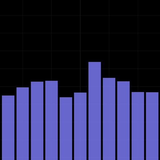
Analyze signals with real-time octave RTA. Display frequency response using RMS values across full, 1/3, 1/6, and 1/12 bands. Measure SPL in dBFS. Support FFT with adjustable window sizes. Sample at 44.1kHz, 48kHz, or 96kHz.
Navigate using real-time maps and flight tracking. View weather data and airspace restrictions. Log flight details and share them with pilots. Set waypoints and monitor altitude. Sync with GPS devices and receive turn-by-turn guidance.
Provides acoustic feedback for leveling surfaces. It detects tilt direction and emits high-pitched beeps for upward adjustment and low-pitched beeps for downward adjustment.
Access a database of airports, airlines, spacecraft, and related entities with instant search and country flags. View manufacturer and airline tail logos.
Record video footage of the driving session whenever the vehicle is in motion. Detect potential collisions using AI-powered forward collision warning. Stream footage to a smartphone for review.
Provides flight data management with downloadable weather briefings and dual data cycle support. It includes a glide ring for descent planning and a collapsible navlog for airway and procedure tracking.
Displays speed and distance using GPS. Tracks maximum speed with vibration alerts. Shows position and time of maximum speed on a map. Switches between light and dark modes. Notifies of GPS measurement errors. Supports motorcycles, cars, and planes.
Receive real-time earthquake alerts via push notifications based on location and magnitude. View interactive maps with colored circles indicating event magnitude and age. Track earthquake timelines for today and yesterday.
Find hot across the USA with detailed location data. View temperature, local weather, nearest city, and search results. Access offline maps and monthly updated database. Tap to see driving distance and time from your location.
Track flights by logging and improving them using Vario with sensor fusion and sound alerts. Monitor ground speed, altitude, wind speed, and direction. View live maps and fly with friends. Sync with Apple Watch.
Coordinates can be viewed and shared via decimal degrees, degrees-minute-seconds, degrees-minute-decimal, UTM, and military grid systems. Users can tap a map to retrieve coordinates and directions.
Locate lost Bluetooth using radar search to nearby instantly. View precise distance scores on a map to track device location. Guide users to move toward the device based on map indicators.
Calculate flight metrics for Beechcraft aircraft including takeoff, landing, climb, cruise, descent, and instrument procedures. Include turbonormalizer and tip tank options. Compute emergency glide distance with wind adjustments.