

Apps Like GeoMe for iPhone and iPad
GeoMe screenshots
Ranked alternatives
Showing 441–460 of 1,000 ranked alternatives.


GPS Maps Camera
KRUTAGNA INFOTECH
Capture photos with GPS and map data
Capture photos with integrated map data and weather information. Adjust settings including grid, aspect ratio, and manual map options. Edit images with map overlays and share directly.

Handy GPS lite
Anthony Dunk
Track routes, record trails, and return safely
View current location in UTM or lat/lon formats. Record and save waypoints. Track movement with up to 40 tracklog points. Navigate using GPS for hiking, mountain biking, and kayaking. Switch between coordinate systems. Store up to 3 waypoints.

Pro Compass for Watch
Craig Hunter
Navigate with a 3D floating
Pro displays a 3D floating with true and magnetic modes using a damped rosette-style ring. It shows local sun and moon positions that update in real time. Users can adjust settings and view directional data.

Running Tracker & Walk Offline
WELLY TECH JOINT STOCK COMPANY
Track workouts and share progress
Track walking, (outdoor and indoor treadmill), and cycling activities with precise movement detection. Log workouts, set goals, and view progress reports. Sync data across devices and share achievements with the community.

GPS Maps & Driving Directions
Mudassar Ahmed
Navigate with real-time routes and 3D
Find routes with real-time traffic updates and voice-guided . View 3D aerial and use a digital compass for orientation. Plan trips with AI-generated itineraries and track progress toward destinations.


trip 3in1(compass, map, altimeter)
友杰 邱
Compass, map, and altimeter tool.
The app provides a compass for direction, a map for location and navigation, and an altimeter for measuring height above sea level. It also offers a sharing feature to send current positions with pictures and text to contacts.

Air Map Israel
Ofer Raanan
Locate aircraft and track position
Displays device location as a plane with speed, direction, altitude, and geo data. Allows adding markers at specified distances or times along the flight path. Tracks movement on the map.
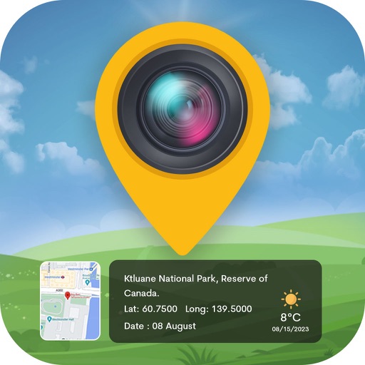

GPS Camera: Stamp Photo Map
Vijay Bhaliya
Capture photos with GPS coordinates and maps
Capture photos with embedded GPS coordinates and timestamps. View live maps and customize location details including addresses and map types. Edit geotag settings and share tagged images with precise location data.


Fitness Stats Widgets
Charles-Adrien Fournier
Track workouts, analyze , stay motivated
Track distance, duration, elevation gain, and calories burned during workouts. Log exercise types and set goals. View progress charts and export data for analysis. Sync with devices for real-time updates.


MapTool - GPS, Compass, Altitude, Speedometer, UTM, MGRS and Magnetic Declination
Dan Iatco
Integrated tools for outdoor navigation.
The app offers integrated navigation tools including a full-screen map, GPS, compass, altitude, UTM, and magnetic declination. It displays current altitude, speed, and UTM coordinates with precision grids for various measurements.
How we rank alternatives
Apps are ranked by functional similarity, category fit, rating confidence, and popularity.