
Tractalis Events
ACTYVO AG
Configurable tracking for any sport.
The app provides a configurable tracking solution for sports events, enhancing coverage. Real-time participant positioning allows global access to event details for fans and media.

Showing 821–840 of 1,000 ranked alternatives.
ACTYVO AG
Configurable tracking for any sport.
The app provides a configurable tracking solution for sports events, enhancing coverage. Real-time participant positioning allows global access to event details for fans and media.

Vishwam B
Navigate with real-time marine charts
View nautical charts for boaters, anglers, and sailors. Overlay charts in a prioritized order based on scale. Navigate continuously without manual chart changes. Access small craft and harbor charts instantly. Adjust chart display for easy reading.

George MacKerron
Locate yourself with grid references
Locate yourself on OS maps using GPS and compass. View current grid reference and heading. Convert coordinates with OSTN02 for accuracy. Track easting, northing, and tetra. Includes Apple Watch and complication.


Dmytro Shaniuk
Navigate slopes with detailed maps
View detailed trail maps for /Hermagor-Pressegger See Ski Resort. Navigate open trails by skill level, from blue runs to black slopes. Find ski lifts, rest areas, and terrain features. Track elevation and distance.

VerroenICT Holding B.V.
Track distance and speed with symbols
Track progress through a roadbook with symbols. Display current track totals and average speed over time or distance. Monitor distance and speed in kilometers or miles.


Bharat Tarachandani
Dubai Metro information and reminders.
The app assists users with Dubai Metro information, including speed checks and next station notifications. It also offers a smart reminder feature that triggers based on location and time.



Mark Granger
3D topo map of Western Canada
The app provides a 3D topographical map of Western Canada. Map data downloads to the device for use without an internet connection, allowing users to view terrain features as small as ten meters.
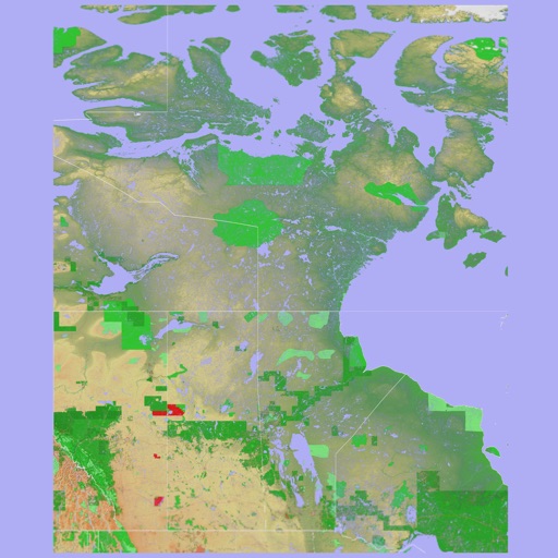

Mark Granger
3D topographic map of Eastern Canada
The app presents a 3D topographic map of Eastern Canada. Users can download map data for use without an internet connection, suitable for various travel methods.


Apps are ranked by functional similarity, category fit, rating confidence, and popularity.