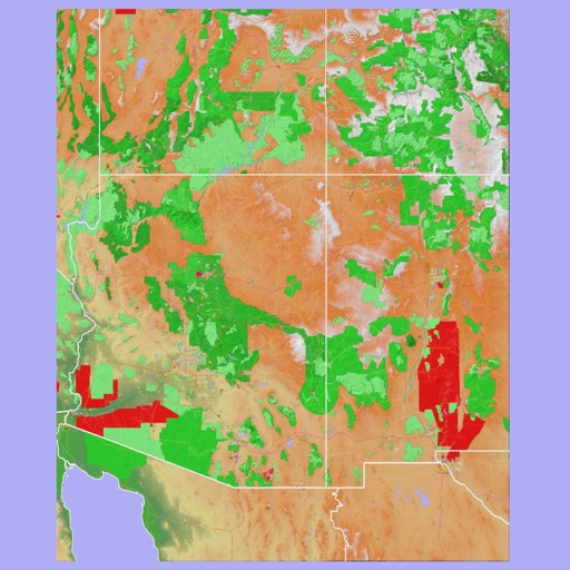
Track hikes using background GPS to save routes locally. Upload tracks to .org account to view stats or request publication. Save hikes to device for offline use. Share routes with the community for discovery.
by MyHikes LLC★ 4.757 ratingsTravelFreeData updated 2026-09-06
Explore hiking trails with detailed offline maps and route guidance. Access information, wildlife facts, and historical stories. View trail difficulty levels and recommended equipment. Save favorite locations and navigate without internet connection.
Record GPS tracks to monitor progress and navigate back. Download offline maps for street, topographic, and satellite views. Save and share route data. Measure distances and elevations. Use compass and waypoints for accurate .
Track ski days and connect with friends on the slopes. View real-time lift and trail status including open trails, scheduled openings, and grooming updates. Access real-time weather data with temperature, wind speed, and snowfall information.
Navigate with a 3D topographic map of the USA. View detailed terrain and vector data offline. Use in vehicles or during outdoor activities. Access global maps online with automatic caching for offline use.
View 3D topographic maps of offline with vector data. Navigate by car, boat, plane, or on foot. Access worldwide satellite maps online with automatic caching. Toggle between map types and zoom to any location.
The app provides 3D topographic maps for iPad and iPhone. Vector map data is contained within the app for offline use, supporting navigation in various environments.