Navigation for maritime professionals. View vector charts and ENC data. Use AIS Class A or NMEA sensors for positioning. Connect via Bluetooth GPS for backup. Track vessel movement and route. Receive navigational alerts and updates.
Add time stamps, GPS coordinates, and exact addresses to photos and videos instantly. Enable grid, aspect ratio, switch, flash, focus, and timer settings. Store user locations automatically and reverse-geotag addresses.
Study for DMV exams with tests for driver's licenses, motorcycles, and CDLs. Review questions with explanations. Track progress and retake tests. Access study materials and exam rules.
View and analyze geographic data offline without needing desktop GIS software or prior training. Collect field data, cache map sources, and share projects. Collaborate in real-time with team members and export data in multiple formats.
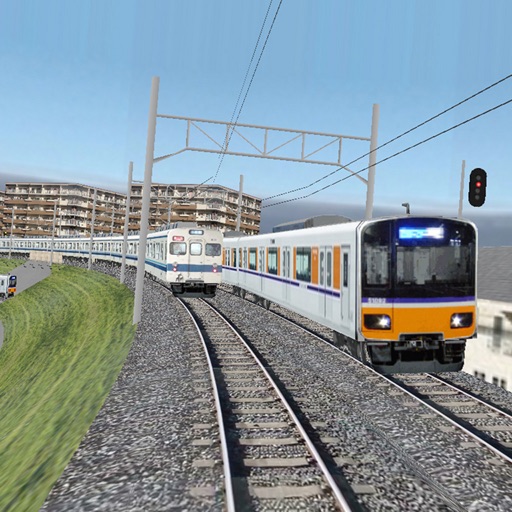
Trains following signals and precise physics calculations while managing simultaneous movements according to timetables. Operate switch rails, signals, and crossing gates.
Book trips by selecting vehicle type and location on a map. View available nearby and book instantly or pre-book for later. Track driver arrival in real time. Pay with cash or business account and receive journey receipts via email.
Create lists for trips with customizable item additions and removals. Track luggage weight in real time. Sync lists across devices using iCloud. Export lists as PDF or CSV for sharing or archiving.