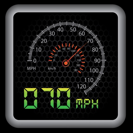
Display speed in miles per hour or kilometers per hour. Show altitude and direction. Switch units by tapping the screen. Track speed for cars, trains, buses, bicycles, and other vehicles.
by Misha Software Solutions, LLC★ 5.02 ratingsNavigation$0.99Data updated 2026-10-13
Find nearby available cars and unlock them with your phone. Start a trip with no paperwork or waiting. Park and fuel for free. End the trip and pay only for the time used. No offices or long lines required.
Switch between car and bike cyclometer modes. Set high and low speed limit alerts. Use HUD mode for display. Toggle between mph and km/h. Choose imperial or metric units. Calibrate speed and check GPS accuracy.
Calculate using coordinates with options for square meters, feet, acres, hectares, kilometers, and miles. Measure distance between points. Premium users can save areas, add notes, attach images, and calculate prices based on values.
Display speed, heading, and trip data using GPS. Choose between mph, km/h, and kts units. Show current and next 24-hour weather based on location. Track altitude, odometer, and drive details.
View real-time speed with a precise digital . Access an on-screen heads up display for quick reference. See interactive maps with route navigation. Track trip details including distance, time, and average speed.
Rent cars by the hour or day through the . Search for vehicles at 65 locations across Oahu. Reserve a car by selecting a location, date, and time. View available vehicles and make a reservation directly.
Track real-time speed and power using a digital . Monitor maximum and average speed during trips. Use a to determine direction, view altitude, and track coordinates.
Navigate with real-time location details including , coordinates, speed, altitude, and compass. View an orientation-focused map that expands to full screen. Tap and hold to search for addresses or coordinates. Share location instantly via tap.
The app provides location information, including address and coordinates, with a compass and map view. It also features a seismometer to alert users of earthquakes and allows sharing of precise locations via email or message.
Check altitude in real-time without network connection. Use the compass for direction. Measure speed with the velocimeter. Take photos with altitude and GPS data included.
The app provides a heads-up display for a car, offering GPS-based speed information with MPH and KPH options. It includes digital and standard font modes, 12 and 24-hour clock options, and portrait and landscape orientations.
Measure geographical orientation with a precise . Display longitude, latitude, altitude, weather, and magnetic field data. Record location points and view saved travel history.
Track in real time using device sensors. View current in miles per hour. Set limits and receive alerts when exceeded. Log trips and review history. Share data via email or social media. Calibrate sensor for accurate readings.
Display speed and heading with GPS accuracy. Show location of nearby speed cameras. Change speed units, prevent screen lock, and enable speed camera alerts in settings.
Distances between two or more points on a map. Place markers to calculate straight-line distance. Sum total distance for multiple locations. View distance in kilometers or miles.
Track speed using iPhone's GPS. Display speed in mph or km/h based on region settings. Show max and average speed. Choose between digital and analog display styles. Monitor speed during car, bike, running, or riding activities.
The app measures distances between map waypoints and surface areas of polygons. Users can select measurement units including kilometers, miles, and nautical miles.
Track speed in MPH and KMH with GPS. Monitor trip distance and travel time in real-time. View data on a high-contrast display suitable for day and night use. Includes a low-light mode for improved visibility during nighttime driving.
Track the sun's position with hourly direction intervals and equinox paths. View sunrise and sunset times, twilight periods, and sun shadow. Add sun-event notifications. Display solar data via widget and 3D AR view.
Monitor , distance, and travel statistics in real time. Display data on a heads-up display for easy viewing. Track performance metrics and save session data for later review. Sync with devices to share results.