The app presents string figures with various patterns and shapes played by fingers and hands. Pictures help users imagine scenes, enhancing imagination and curiosity, especially for children over four years old.
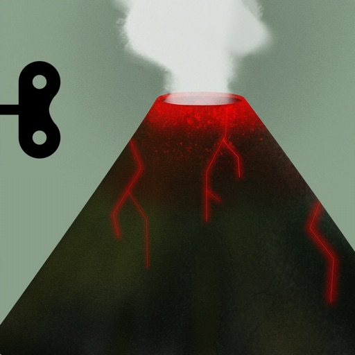
Explore geological processes and ecological systems through an interactive 3D model. Manipulate tectonic plates, simulate volcanic eruptions, and observe erosion over time.
The app teaches geography using interactive maps. Users can learn, practice, or test their knowledge in various modes, including a customizable homework mode for accelerated learning.
The app provides an interactive map of whale sightings and real-time alerts for areas of concern. Users can report whale activity, access marine rules, and monitor collision risk to help protect whales.