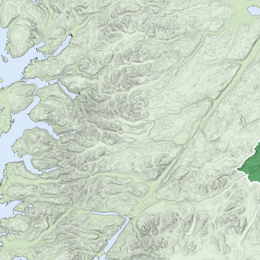
Navigate Lake by marking and accessing marinas, boat launches, restaurants, and other points of interest. Save favorite locations for quick access. Create custom places on the map for specific activities like relaxation or wakeboarding.
The app provides worldwide marine and outdoor maps, satellite imagery, and terrain overlays. It offers local marine weather forecasts, route planning with unlimited waypoints, and track recording without needing a cellular signal.
The app displays the user's current location, including altitude, latitude, and longitude. It also shows the date and time, and can present the latest GPS information on a widget using background mode.