Navigate using real-time map data from geospatial experts. Subscribe to custom map layers for specific needs. Access offline maps and location-based alerts. Share locations with others. Sync with other devices for real-time updates.
by NOMADIQ LLC★ 5.015 ratingsNavigationFreeData updated 2026-09-06
Plan routes and explore networks in different cities by switching locations instantly. View metro, subway, and tram systems with integrated geographic . Get real-time updates and navigate crowded urban areas efficiently.
View real-time locations on an interactive map and track their movements. Access detailed profiles on species, including behavior, habitat, and physical characteristics. Receive alerts about sightings and dive safety tips.
Plan routes offline with detailed maps and points of interest. Search locations without internet. Navigate with turn-by-turn directions. Access live traffic data during the free trial. View maps and POI without roaming charges.
Explore locations using 360° and live webcams. Navigate interactive with dual providers: Google and Apple Look Around. Plan trips, landmarks, and play location-based games. Share panoramic views and access real-time webcam feeds.
Locate saltwater fishing using map layers like oyster beds, seagrass, contour lines, and 3D topography. Access proprietary " " for targeted fishing areas. Search for specific species such as redfish, speckled trout, snook, and flounder.
Track expenses with categorized entries and real-time updates. Share expenses with others to monitor who owes who. Set budgets and receive alerts for spending limits. Sync data across devices and export reports for trip summaries.
Provide real-time turn-by-turn with updates. Plan routes and view alternative options. Adjust settings for preferred roads or avoid tolls. Share locations and receive directions via voice or map. Sync with devices for offline use.
Plan trips with itinerary creation, weather forecasts, and local attraction listings. Access real-time weather updates and travel tips. Find accommodations, book tours, and navigate using interactive maps.
The app provides access to the ACE Club card benefits and rewards. Users can view offers, book hotel stays, and receive exclusive messages about property promotions and events.
Access real-time location data and choose from over 70 map layers for detailed boundary and land ownership info. View satellite, topographic, hybrid, and road maps. Set permissions and contact details for areas you visit.
Explore attractions with an interactive map and detailed descriptions. Find museum hours, event schedules, and garden locations. Navigate the with turn-by-turn directions. Learn about historical landmarks and cultural exhibits.
Track game sightings and movement on interactive maps. Mark hunters and bagged game with custom icons. View detailed terrain and trail information. Save and share notes and locations. Sync data across devices for real-time updates.
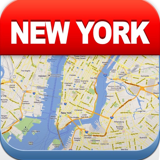
View maps of New City, including subway and airport routes. Navigate using real-time GPS without internet. Bookmark addresses for trip planning. Access top attractions and explore without data usage.
Track real-time locations of contacts on a private map. Receive instant notifications about location changes even when the is closed. Share locations with specific people and set up location-based alerts.
Lets users view global train track networks with three layers: standard, speed, and signals. Users can explore track details, check train speeds, and view signal information. The caches visited locations for faster access.
View real-time service status and journey planning. Access the official map. Check train arrival times and delays. Get step-by-step navigation within the network. Receive service updates and disruptions. Plan routes without in- purchases.
Create GPS traces with waypoints and save them as GPX files. Use offline maps for navigation without time limits or ads. Share track data and contribute to Street Map. Keep routes private and edit existing traces.
View maps for Calgary, Edmonton, Hamilton, Montreal, Ottawa-Gatineau, Quebec City, Toronto, and . Fullscreen map with one click. Zoom using double click or two fingers. Move map with one finger. Show user location. Use AR navigation.
The app provides up-to-date arrival times based on GPS location of streetcars and buses. It also offers real-time location tracking and push notifications for service interruptions.