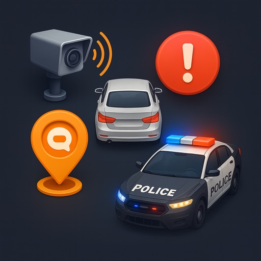
Navigate using real-time map data from geospatial experts. Subscribe to custom map layers for specific needs. Access offline maps and location-based alerts. Share locations with others. Sync with other devices for real-time updates.
by NOMADIQ LLC★ 5.015 ratingsNavigationFreeData updated 2026-09-06
Navigate with augmented reality for real-time directions. Access offline maps and metro guides for planning. Explore interactive points of interest including public transport, dining, and attractions.
Receive real-time alerts about nearby tow trucks and parking enforcement. View live map updates to track enforcement activity. Report sightings to help others avoid tickets and vehicle repossessions.
Track real-time locations of members using GPS. Set up geofences for home and school. Receive alerts when people enter or exit designated areas. View activity history and share updates with trusted contacts.
Track live positions and vessel details with real-time traffic data. View accurate updates on vessel movements across seas, rivers, and ports. Access detailed information about specific ships and monitor maritime activity.
The app displays up to 150 dump station locations on a map based on the user's current location. Users can filter by type and perform offline manual lookups by state and city.
Receive real-time alerts about active fire calls in Lexington, KY. View incident details and locations. Navigate safely with updated fire information. Stay informed during emergencies.
Plan trips with personalized recommendations, interactive maps, and insider tips. Search for attractions, book tickets, and navigate streets. Get real-time updates and save favorite locations. Share itineraries with others.
Plan hikes by downloading detailed topographic maps for offline use. Access IGN, SwissTopo, and OpenTopo basemaps. Track routes, view elevation data, and navigate with precise geographic information. Share maps and waypoints with others.
Learn essential phrases for ordering coffee, flirting at a bar, and conducting business meetings. Practice speaking and listening through interactive conversations. Track progress and set goals. Connect with native speakers for real-time practice.
Monitor vehicle locations in real-time using GPS . View maps with detailed routes and historical data. Generate reports on vehicle movement and fuel usage. Receive alerts for unauthorized movement or tampering.
Navigate the World Equestrian Center – property using a digital map. View events, confirm show registration, and check dining options with hours and online ordering capabilities. Access photos and GPS navigation for nearby locations.
Navigate to local shelters, food banks, and clothing centers using an interactive map. Access medical services and crisis support resources. Receive real-time updates on available assistance programs. Contact providers directly through the .
Track vehicles in real time using a dynamic map. Control vehicles remotely to start or stop them. Receive alerts for unauthorized movements. Manage fuel consumption and maintenance schedules. Generate reports on vehicle performance and usage.
Learn and practice phrases with audio and pronunciation guides. Access 230+ essential phrases offline. Translate sentences and speak along with native pronunciation. Save favorite phrases for quick reference.
Allows users to track trails with real-time GPS and high accuracy positioning. It offers multiple map layers including OpenStreetMap, Satellite, Terrain, and Topographic views.
View live traffic density, road conditions, and accidents on a map. Display security cameras in real time. Receive smart alerts for speed limits. Track driving routes and monitor vehicle location. Share trip details with others.
View real-time bus locations and receive notifications about arrival times. Check schedules and route details. Get updates on delays and contact support via email for assistance.
Track vehicle locations in real time using GPS. View fleet status on a map. Receive traffic alerts and re-route trips. Lock vehicles remotely. Navigate to stolen vehicles during theft. Monitor vehicle activity and set up alerts for fleet management.