Capture images to track weather conditions. Adjust exposure and brightness. Save and organize photos. Share images with others. View location-based forecasts.
by Oum-elaid ES-SABIR★ 0.00 ratingsWeatherFreeData updated 2026-09-06
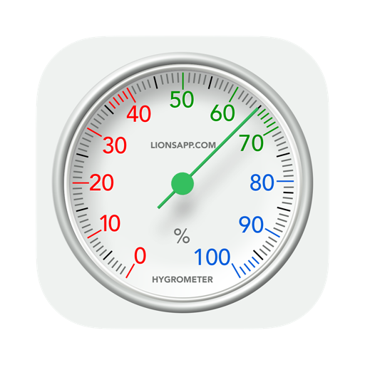
Measure ambient levels in real time. Display current percentage. Provide guidance on clothing based on . Alert users when exceeds set thresholds. Sync with weather forecasts for accurate readings.
The app provides weather alerts for hazardous conditions like heat, cold, and storms. It offers direct contact with colleagues and FNV Bouw consultants, along with information on collective labor agreements and Time Savings Fund budgets.
The app provides current and future weather conditions for maritime navigation. It offers detailed weather maps and reports for the North Sea, Baltic Sea, and Mediterranean, including wind and analysis maps.
View real-time conditions, air quality, and dynamic background images. Check 24-hour hourly forecasts and 7-day trends. Manage multiple cities with search and swipe switching. Toggle between chart and list views. Switch temperature units.
The app displays real-time weather data from weather stations. Users can view measurements from selected stations, including temperature and wind speed.
Monitor local weather conditions directly from phone.
The app displays detailed weather information including temperature, wind, humidity, rain, and pressure. A SoilTech Weather Station is required to measure and monitor local weather conditions directly from a phone.
The app provides real-time air quality information for Catalonia. Users can check current conditions, view forecasts for today and upcoming days, and see a map of measurement stations.
Access real-time data with high-resolution radar and satellite imagery. Track severe trends and view current conditions updated frequently. Save favorite locations and receive hourly forecasts for daily and hourly periods.
The app displays current weather, wave data, and maritime forecasts for the North Sea, Dutch coast, Wadden, and Zeeland Delta. It provides live measurements, marifoon messages, warning messages, and detailed GFS analysis maps for nine days.
Monitor real-time levels in your city and receive personalized alerts. Access multi-day forecasts to plan activities during high-risk periods. Track major pollens like grasses, birch, ragweed, and walnut. Adjust daily routines based on conditions.
Capture and submit safety, asset management, and manual measurement data using electronic forms. Work offline and sync data once online. View and manage collected data within the DataSight database.
View real-time weather data including temperature, humidity, wind speed and direction, rainfall, UV index, dew point, and barometric pressure. Monitor up to two weather stations. Access historical data and alerts.
The app presents synoptic, significant weather, wind, temperature, thunderstorm forecast charts, and satellite maps. Users can save charts, email them, or use the Trip Kit function for offline viewing.
The app provides weather information including current temperature, humidity, and pressure. It offers a four-day forecast with wind speed and direction, sunrise, and sunset timings.
The app displays temperature, weather, and wind details for the current location. Users can move the map to update information, including temperature in Fahrenheit, Celsius, and Kelvin, wind direction and speed, air pressure, and humidity.
Displays real-time UV indices and hourly weather data for , Cagnes-sur-Mer, and Saint-Laurent-du-Var. Provides UV protection advice. Offers meteorological information including temperature and precipitation.