

Apps Like Cachly - Geocaching for iPhone and iPad
Official Geocaching Partner App For iOS
The app is an official partner app of Geocaching HQ and uses the official API. It offers features such as multi-user logging, AI summaries, CarPlay integration, and offline vector maps for saving caches.
Cachly - Geocaching screenshots
Ranked alternatives
Showing 641–660 of 1,000 ranked alternatives.


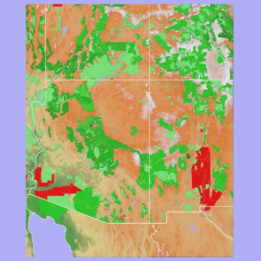
Scenic Map Grand Canyon
Mark Granger
Explore landscapes in three dimensions.
The app provides 3D topographic maps for iPad and iPhone. Vector map data is contained within the app for offline use, supporting navigation in various environments.

Manchester Metro
Mapway Inc.
Navigate routes and track your journey
Navigate using the Metrolink and free bus routes. Find the way to travel between locations. View real-time schedules and service updates. Plan routes with step-by-step directions. Access maps and landmarks within the city.


Bike Share Buddy
Tom Arra
Find stations and track availability
Find sharing stations in cities worldwide. Search for nearby stations and check availability. View real-time data on counts and station locations. Support for 458 networks across 45 countries. Navigate to stations using maps and directions.


The Baby Countdown Free
E-Healthcare Solutions LLC
Countdown to baby's arrival date.
The app provides a customizable countdown to a baby's due date. Users can enter names and dates, and the app displays the remaining time in days, hours, minutes, and seconds.

Disposal Map | AR Volume
Kintsugi LLC
Measure waste with AR
Calculate waste using AR by defining base and height. Measure and estimate costs. Locate nearby facilities for landfill, recycling, composting, and wastewater. View facility details and directions. Document waste volumes for compliance purposes.

SledNH 2026
Mapgears Inc.
Navigate trails, track your route, and access
Access real-time trail data for the 2025- winter season. View detailed trail maps, navigate trails with or without mobile data, and receive trail conditions and closures. Set waypoints and track progress along routes.


Air Map Israel
Ofer Raanan
Locate aircraft and track position
Displays device location as a plane with speed, direction, altitude, and geo data. Allows adding markers at specified distances or times along the flight path. Tracks movement on the map.

Kodiak Summits
Mica Linscheid
Navigate routes with offline topo maps
Navigate trails in using an offline topo map. View real-time location and route details. Access detailed elevation data and trail markers. Save and share route logs without internet connectivity.
How we rank alternatives
Apps are ranked by functional similarity, category fit, rating confidence, and popularity.