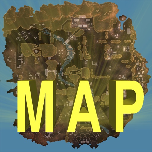
Track locations, respawn beacons, survey beacons, crates, and jump towers. Toggle points of interest on and off. Share markers with friends to coordinate strategies. View interactive map with detailed location data.
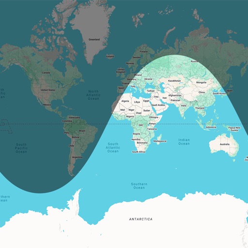
Trace paths on maps to analyze elevation, distance, gradient, and bearing. View elevation and grade profiles of traced routes. Calculate area of arbitrary paths. Use satellite or default map views for terrain study.
Manage freight shipments with real-time tracking and route optimization. Schedule deliveries, monitor vehicle locations, and generate invoices. Access fuel and maintenance logs. Communicate with drivers and dispatchers through in- messaging.