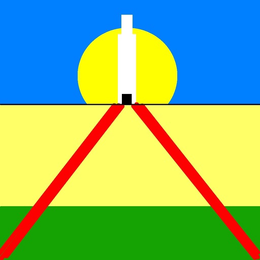
Display a floating arrow indicating the direction to Sagittarius A, the supermassive black hole at the center of the Milky Way. Update direction based on time of day, location, and Earth's orbital position.
by Acts Not Facts Ltd★ 4.865 ratingsTravelFreeData updated 2026-09-06
Navigate with precision and explore trails efficiently
Navigate with multiple styles, including analog and digital interfaces. Set and track waypoints, view elevation data, and receive turn-by-turn guidance. Sync with GPS devices and share route maps.
Navigate using real-time GPS directions and map views. Set and save navigational bookmarks. Locate parked cars with built-in car finder. Track walking routes and receive turn-by-turn guidance. Share locations and view points of interest.
Display GPS coordinates in DMS, DDM, or DD formats. Show altitude in feet or meters. Track speed with a speedometer. Share coordinates. Switch between magnetic and geodetic north. Use flashlight for nighttime. Provide location data.
The app adds a compass to the iPad, utilizing the built-in magnetic compass or a sun compass. It is suitable for outdoor activities like hiking and biking.
Navigation displays real-time on two customizable maps. Users can track their position while driving, adjust zoom settings per map, set map sizes, and toggle between vehicle-following and north-up views.
The app provides altitude readings using GPS, Aster, or barometric data. It functions offline for wilderness adventures and includes features like a speedometer, step counter, and flashlight.
Determine direction to using GPS and compass. Display distance to . Show longitude, latitude, and address. Requires GPS permission for accurate calculation.
This displays directions in Japanese or English with a single tap. It shows 16 directional points, precise angles in degrees, and supports switching between cardinal names and abbreviations.
Display a compass overlay on the map. Navigate with turn-by-turn directions. Show current speed, altitude, and heading. Indicate device orientation with a level feature.
Display current location and customizable info on large text screens. Create waypoints using location, crosshairs, or coordinates. Organize waypoints into overlays and navigate to them with arrows or maps. Track movement and view location details.
Calculate -related conversions, fuel consumption, and navigation metrics. Perform arithmetic operations and unit conversions. Track time, distance, and speed. Sync with Apple Watch for real-time updates.
View high-resolution NOAA nautical with depth data for U.S. coasts, Great Lakes, major rivers, Brazil, and global areas. Navigate using GPS, track vessel position, and set waypoints. Access tidal information and route planning tools.
Track trips with real-time GPS data including speed, position, distance, elevation, and map display. Record details and export GPX files for review in Google Earth. Sync data to a computer for geo-tagging and management.
Measure with high precision using internal sensors. Display directions and elevation changes. Track location and movement patterns. Set alerts and receive notifications. Sync data with external devices for detailed analysis.
The app displays a 3D arrow indicating the Qibla direction. It shows the distance to the Kaabah and allows users to view maps, satellite images, and road networks of their location.