All Speed
Jorrit van Asselt
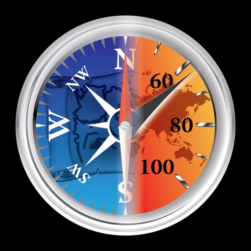
Speedometer and compass display.
The app displays the user's current speed in km/h or mph. It offers an analog or digital display that auto-adjusts to the user's speed.

Navigate using the arrow
Display a floating arrow indicating the direction to Sagittarius A, the supermassive black hole at the center of the Milky Way. Update direction based on time of day, location, and Earth's orbital position.
Showing 661–680 of 1,000 ranked alternatives.
Jorrit van Asselt
Speedometer and compass display.
The app displays the user's current speed in km/h or mph. It offers an analog or digital display that auto-adjusts to the user's speed.
Michael Irving
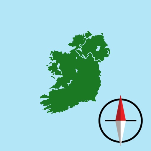
Irish Grid Reference and Map
The app displays the user's current location on a map of Ireland or Northern Ireland. It provides the Irish Grid Reference, compass bearing, and latitude/longitude in OSGB36 and WGS84 formats, along with GPS signal strength.

LetUsBake, LLC
Find and share spots
Find and save shops using a map interface. Pin locations, view real-time details, and share favorites. Track visited cafes and receive recommendations based on preferences.

Dan Iatco
Integrated tools for outdoor navigation.
The app offers integrated navigation tools including a full-screen map, GPS, compass, altitude, UTM, and magnetic declination. It displays current altitude, speed, and UTM coordinates with precision grids for various measurements.





Urban Apps
Find docks, see bike availability, navigate
Find nearby docking stations with distance and direction. View available and docks at each station. Use full-map mode to check docks at your destination. Set a ride timer to track rental time and avoid late fees.



Urban Apps
Locate Ford GoBike stations easily.
The app locates nearby Ford GoBike stations, showing distance, direction, and availability of bikes and docks. Users can also set a ride timer to track rentals and avoid late fees.

OFFLINE MAP TRIP GUIDE LTD
Navigate and find locations
Provides maps for navigation without internet connection. Displays detailed vector maps with continuous updates. Helps avoid roaming charges by using local data. Allows zooming at any level for precise location tracking.

Zifigo
Tactical sailing navigation for iPhone.
The app provides tactical regatta and cruising navigation features. Users can view important readouts, set wind direction, and manage starting sequences.

Anthony Dunk
Seek, find, record, and return.
The app provides navigation for outdoor activities, allowing users to view their location in UTM or Lat/Lon. It supports recording and returning to waypoints, track logs, and exporting data to KML, GPX, or CSV files.

FB Imray Laurie Norie & Wilson GmbH
Plan routes and track your journey
View and navigate nautical charts for sailing, diving, and fishing. Plan routes and create waypoints. Share tracks with others. Subscribe for updated chart data. Access technical support via email.


Misha Software Solutions, LLC
Track speed, altitude, and direction
Display speed in miles per hour or kilometers per hour. Show altitude and direction. Switch units by tapping the screen. Track speed for cars, trains, buses, bicycles, and other vehicles.
Apps are ranked by functional similarity, category fit, rating confidence, and popularity.