Access and manage transponder data with editing and configuration tools. View GPS position and altitude information. Integrate with Mode A/C and ADS-B systems. Monitor and adjust transponder settings remotely.
by microair avionics pty ltd★ 0.00 ratingsNavigationFreeData updated 2026-09-06
Provides detailed subway maps for with BTS and MRT lines. Includes route planning, GPS navigation, and street maps in English and Thai. Works offline. Displays all stations and future expansions.
Displays current course, speed, altitude, coordinates, orientation, and weather using GPS and compass. It includes advanced bookmarking, Street View, and live Flyover mapping features.
The app provides real-time Sun and Moon data, including sunrise, sunset, moonrise, and moonset times globally. It features a time-chart and interactive map for accessing celestial data and exploring seasonal shifts.
Capture photos with integrated GPS data including location, altitude, weather, and . Add real-time date-time watermarks. Share geotagged photos with friends to show travel locations. Track live location and time during photo capture.
Manage and monitor 5G and 4G hotspots from a smartphone. View connection status, switch between networks, and track data usage. Automatically connect to the local network in 170+ countries without manual setup.
Create GPS traces with waypoints and save them as GPX files. Use offline maps for navigation without time limits or ads. Share track data and contribute to Street Map. Keep routes private and edit existing traces.
Tracks location, speed, altitude, heading, acceleration, g-force, and atmospheric pressure. Retrieves and displays current weather data. Records tracks up to 10 minutes or 10 kilometers. Plays back tracks at multiple speeds.
Control and monitor DS1 radar detector functions. Adjust sensitivity settings, receive intelligent alerts, and activate advanced muting. Sync with the DS1 device for real-time updates and manage detector preferences.
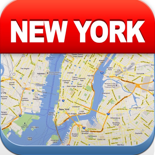
View maps of New City, including subway and airport routes. Navigate using real-time GPS without internet. Bookmark addresses for trip planning. Access top attractions and explore without data usage.
Metro maps with detailed route planning and GPS navigation. View English and Chinese station names. Access offline maps and real-time metro lines. Plan routes with interactive street maps.
Take photos and embed GPS location data. Add latitude, longitude, date, and time. Shoot videos and include watermarks. Add altitude and magnitude information. Share location-based content with others.
The app provides a searchable map to locate electric vehicle charging stations and manage charging sessions. Users can view charger status, get directions, and access charging and billing history.
View current in mph, km/h, knots, and other units. Display altitude above sea level. Track max and altitude during trips. Monitor distance traveled in trips. Check on Apple Watch. Pro upgrade unlocks custom colors, HUD mode, and ad removal.
Track real-time locations of people or devices with accurate GPS data. Set personalized alerts and geofencing boundaries. Share location updates with contacts. View historical movement data and manage tracking settings remotely.
Display , latitude, altitude, and GPS speed. Show real-time weather, pressure, and wind direction. Track location with GPS and mobile sensors. View geographical data for accurate positioning.
Metro systems with detailed maps and real-time route planning. View English and Chinese station names. Use GPS for navigation. Access offline maps and route options. Remove ads and unlock premium features for a smoother experience.
Track flights with real-time aircraft positioning on an interactive map. View details including airline, number, times, altitude, speed, and heading. Access AI-generated aircraft visuals for realistic representation.
Track routes for hiking, running, cycling, and other activities with GPS. View recorded paths on maps. Save favorite locations for quick access. Measure distance, speed, and elevation. Export data in various formats.