Access and manage transponder data with editing and configuration tools. View GPS position and altitude information. Integrate with Mode A/C and ADS-B systems. Monitor and adjust transponder settings remotely.
by microair avionics pty ltd★ 0.00 ratingsNavigationFreeData updated 2026-09-06
The app links the Valentine One Generation 2 detector to an iOS device. It analyzes radar threats and screens out false alarms with directional arrows and frequency readouts.
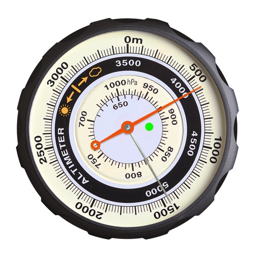
Displays altitude using a digital readout and an analog gauge. Tracks maximum height reached during use. Shows altitude accuracy and sensor quality. Utilizes GPS and barometric sensor for precise measurements.
View data with a display and HUD options. Track trips, record , distance, and duration. Monitor average , top , altitude, and switch between mph and km/h.
Display directions and current location data. View altitude, barometric pressure, and coordinate details. Navigate using coordinates and save location bookmarks. Track sunrise and sunset times. Show solar elevation and azimuth angles.
Check GPS and altitude of your current location. Tap to copy for pasting elsewhere. View current and saved locations in Maps. Share location via SMS or button. Bookmark current location with a name and access saved bookmarks with visit history.
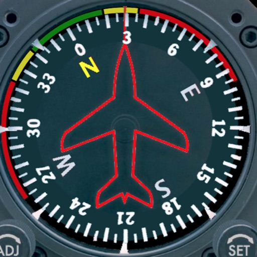
Displays a photorealistic -style indicator with both analog and digital readouts. Users can toggle rotation lock, simulate the instrument indoors, and view improved graphics. Supports latest iOS versions and includes bug fixes.
Save photos with GPS location and timestamp. Set names and dates. Share photos directly. Search for places and export to Photos . Includes iMessage sticker and widget for quick access.
Plan and manage flights with auto-routing and real-time data. Sync flight details between devices. View weather, airspace, and airport information. Log flight details and track progress. Share flight plans with others.
Turn your iPhone or iPad into an outdoor GPS or marine chart plotter. Use detailed Topo maps or NOAA marine charts for navigation. Access maps offline without a network connection. View GPS location without mobile signal.
Tracks location, speed, altitude, heading, acceleration, g-force, and atmospheric pressure. Displays and records current weather. Plays back tracks at multiple speeds. Provides suggested routes for reference. Allows pausing and resuming tracking.
Check current using internal GPS and Wi-Fi data. View latitude and longitude in decimal degrees, degrees decimal minutes, and degrees minutes seconds. Suitable for trips, sports, geocaching, and solo travel.
Measure altitude, latitude, and longitude in real time. Display current direction using a compass. Show location with map-based coordinates and address. Share photos with altitude data on social networks.
Calculate distances and areas using GPS coordinates. Place markers on a map to measure distances between points or total of a route. Delete markers by tapping them. Export results for further use.
Manage E-ZPass account by adding funds, checking balance, and viewing toll history. Edit registered vehicles and track active transponders. Access detailed transaction records and manage transponder status.
The app displays real-time altitude in meters or feet using a GPS signal. It automatically detects the user's location and shows altitude, name, address, latitude, and longitude on a map.
Navigate with compass, location, altitude, and speed
Navigation displays true and magnetic , current location, altitude, and speed. Users can track movement and view detailed compass readings. Features a clean, intuitive interface with a modern flat design.
The app displays device orientation to magnetic fields. It provides location coordinates, course, speed, altitude, weather information, date, time, and map views.