Access live and recorded video from surveillance cameras. View stored videos and photos. Monitor locations such as business, home, or warehouse. Control camera settings and receive alerts. Share camera feeds with others.
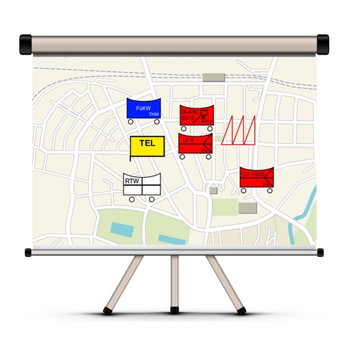
The app allows users to create and edit tactical maps with over 1600 symbols from various organizations. It supports custom map materials, drawing functions, and the ability to record situation reports directly within the application.
The app helps visitors to Rotterdam find subway stations. It calculates and displays the distance of each station from the user's current location on a map and in a list.