
Speedometer - Real Time
Mark Dietrich
Track speed
Track speed in using units like meters per second, miles per hour, and kilometers per hour. Display speed in English or Spanish. Allow users to request additional language support.

Showing 21–40 of 1,000 ranked alternatives.
Mark Dietrich
Track speed
Track speed in using units like meters per second, miles per hour, and kilometers per hour. Display speed in English or Spanish. Allow users to request additional language support.

Flamethrower plc
Navigate with and flashlight
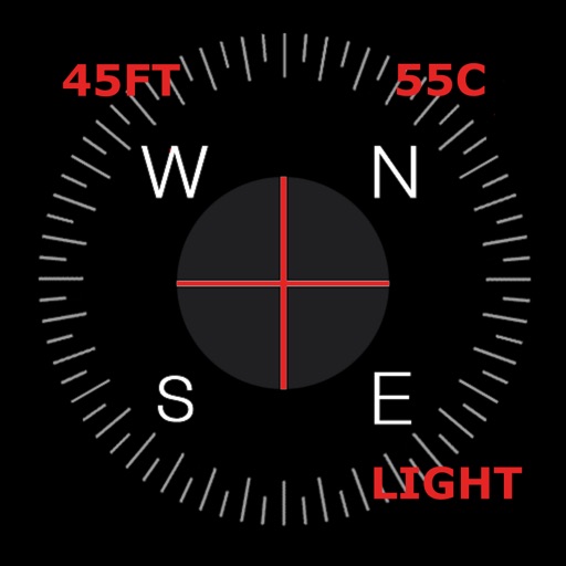
Displays current with a large degree reading and a pointing arrow. Shows cardinal directions and a rotating rose. Includes a flashlight for low-light visibility. Provides accurate north orientation for land and marine navigation.

TruckersReport, LLC
Navigate with precision and safety
Navigate with -specific GPS directions tailored for commercial vehicles. Get turn-by-turn guidance considering dimensions and weight. Access offline and safety-focused routing features. Track vehicle position and receive real-time updates.

鑫 吴
Navigate with altitude and coordinates
Display directions and current location data. View altitude, barometric pressure, and coordinate details. Navigate using coordinates and save location bookmarks. Track sunrise and sunset times. Show solar elevation and azimuth angles.


TRANSPORT HI TECH CONSULTANTS
Route planning and navigation without internet.
The app offers on-board route planning and navigation with turn-by-turn instructions and automatic rerouting. It displays traffic information, road works, accidents, and POIs along the route.

Navico Norway AS
Navigate, track, and plan fishing trips
Manage waypoints by creating, storing, editing, and organizing them. View detailed fishing maps for accurate charting. Sync data with devices. Log favorite fishing spots and plan trips. Share waypoints across devices.

Convexity Holdings AG
Navigate with turn-by-turn directions
View detailed maps and get turn-by-turn navigation for driving, walking, and cycling without requiring an internet connection. Access preloaded travel guides for hundreds of destinations to plan trips efficiently.


GEC s.r.l.
Download charts, navigate offline, connect instruments
Navigate using weekly updated nautical charts from NOAA. Plan routes manually or automatically. Record GPS tracks and store navigation data including markers and routes. Share data with others. Display tides and currents.

BranchenKing Ltd.
Track altitude changes with a barometer
Track changes using a barometer and set reference pressure and altitude. View real-time altitude and adjust landscapes based on time of day. Use compass for orientation during hiking and outdoor activities. Compare differences between two points.

WATT APPS LTD
Track speed with GPS and compass
Track speed using GPS with options for mph, km/h, and knots. Display city name and compass if enabled. Show traveled distance and optional average and maximum speed. Choose from multiple interface colors. Record speed during trips.


Nobeltec, Inc.
Navigate with real-time GPS and tidal data
Navigate using GPS, AIS Online, and radar. View charts for coastal boating, sailing, and fishing. Track tides and currents. Set anchoring points. Sync with Apple Health. Share routes and waypoints.


Andrea Bisegna
Search and view real-time data
Access real-time buoy data for . Search by location, name, or region. View on a map and save favorites for quick access. Retrieve data offline when available.

Zipo Apps Ltd.
Track location with GPS and MGRS coordinates
Determine location using GPS and MGRS coordinates. Display latitude, longitude, and altitude. Show 16 main directions. Operate offline. Suitable for camping and outdoor navigation.

Apps are ranked by functional similarity, category fit, rating confidence, and popularity.