View real-time departures marked in red for accurate departure times. Search for stops to find next departures. Look up routes that include your current stop. Plan trips using the integrated Reiseplanlegger functionality.
Displays altitude, coordinates, and speed with options for metric or imperial units. Shows accuracy and warns about signal issues. Offers aircraft mode with in feet. Compares current altitude with known values. No ads or data collection.
Find nearby scooters and bikes for rent. Search destinations and navigate with real-time routes. Park vehicles in designated areas. Purchase ride passes for flexible pricing. Track location and manage bookings within the .
Allows users to rent electric scooters for short-term use. Users can unlock scooters with a $1 fee and pay $0.40 per minute. Locate and unlock scooters in designated areas. Ride along river trails or through town. Track usage time and location.
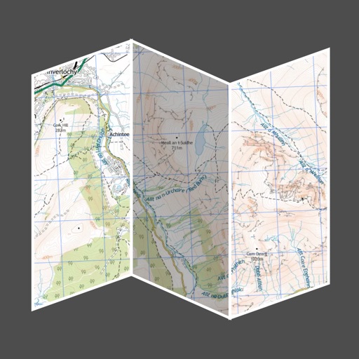
Provides offline maps of the entire United States. Displays roads, terrain, streams, lakes, and landmarks. Works without cell signal. Allows zooming and panning. Includes compass and scale. Supports saving and sharing map views.
Track speed with accurate GPS measurements and view average and maximum speed per trip. Choose units and monitor distance traveled and estimated travel time. Use turn-by-turn navigation to build routes.
Navigation provides real-time positioning using iPhone/iPad sensors. Displays maps and routes. Offers -and- interface. Uses digital filtering and stochastic models for accuracy. Only functions in airplanes.
Track members' locations in real time using GPS. Set up alerts for movement zones and receive notifications when someone enters or leaves a designated area. Share location updates with specific contacts.
COLREGs offers flag identification, weather scales, cloud recognition, sound signal guidance, and vessel light details. Users can access navigation , interpret flags, and understand sound and light signals for safe boating.