Track status and location in real time. Send and receive messages within the team. Update incident details and resource availability. Access maps and dispatch information. Share photos and files during operations.
Stay connected with global internet plans in 200+ countries. Select and activate personalized data packages. Use hotspots or eSIMs for high-speed internet. Access 5G in 90+ destinations. Manage connectivity without roaming charges.
Identifies audible stations based on location and terrain. Users can search by location or map, view station listings in list or map format, and check coverage areas.
The app simplifies unit conversions across multiple categories. It provides a user-friendly interface for everyday use and includes optional currency conversion features.
Set location during or after installation using distance and bearing. Define allowed area as a circle or custom shape with angles and distances. Monitor movement and receive alerts when boundaries are exceeded.
Find and share locations with a map interface. Pin locations to view coordinates or addresses. Select transportation options to share real-time location updates. Quickly check current location or specific destinations with minimal clicks.
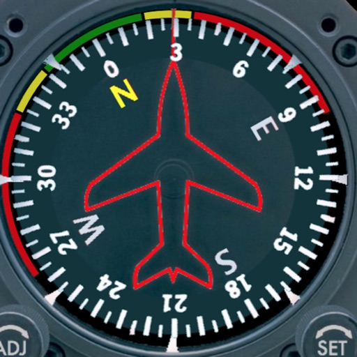
Displays a photorealistic -style indicator with both analog and digital readouts. Users can toggle rotation lock, simulate the instrument indoors, and view improved graphics. Supports latest iOS versions and includes bug fixes.
Book rides using GPS, addresses, or past locations. Rate drivers and save favorites. Pay with cash or multiple payment methods including LINE Pay, credit cards, and e-wallets. Share ride details with contacts.
Calculate fuel burn with altitude, distance, and wind adjustments. Generate time tables for loiter, transit, and efficiency planning. Adjust for varying altitudes and wind conditions. Input mission-specific data for accurate results.
View nearby cell towers for 5G, 4G, 3G, and 2G networks on an interactive map. Access tower details including ID, signal strength, and network provider. Tap to get directions to specific towers.
Spoken and written text between over 200 languages. Use voice input for real-time conversations. Switch between languages instantly. Save frequently used phrases. Share translations via text or social media.
Allow users to explore locations without an internet connection. They include detailed global with millions of points of interest. Users can download for use and bookmark favorite locations. GPS tracking enables recording of travel routes.
Navigate to cell towers using a built-in compass. View precise locations and details. Plan travel routes based on strength. Troubleshoot weak signals by identifying nearby towers. Optimize mobile setup with insights.