View real-time weather data including D-ATIS, METARs, TAFs, and reports. Access up-to-date radar images with a subscription or delayed radar for free users. Explore detailed airport information and maps for flight planning.
by Ford Davis★ 5.01 ratingsWeatherFreeData updated 2026-09-06
Track , paragliders, planes, and helicopters in real time with live position and flight path data. View airfield details including frequencies, runways, and METAR reports. Access rain radar, cloud layers, and flight time calculations.
The app provides severe weather warnings and a 7-day forecast. Users receive instant access to interactive radar and forecast models, with alerts for tornadoes, storms, breaking news, and lightning.
The app provides current weather information, daily and hourly forecasts, and severe weather alerts from the National Weather Service. It offers 250-meter radar, future radar, and high-resolution satellite imagery for detailed weather tracking.
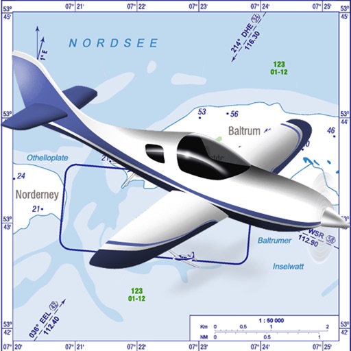
VFR charts for German airfields and helicopter sites.
The app provides VFR charts for German airfields and helicopter landing sites, including French AIP maps. Users require an account for content downloads and map updates, with monthly updates available for a fee.
Track Airways flights in real time. View flight paths, altitudes, and speeds. Receive notifications about departures and arrivals. Access aircraft details and pilot information. Share flight data with others.
The app displays live precipitation radar maps and real-time rain data. It provides hourly and daily predictions, storm alerts, and snow/cloud layers for a comprehensive weather view.
Track flight delays at select US airports using FAA data. View summaries and heat maps showing current delays. Access weather information for international airports. Link to myTSA for additional travel resources.
View current weather updates multiple times per hour. Access high-resolution satellite imagery and 250-meter radar. See future radar for severe weather direction. Add and save favorite locations. Use integrated GPS for location-based forecasts.
The app provides flight planning for New Zealand with a waypoint database and VFR/IFR planning. It includes graphical weight and balance, and displays routes on a Google Earth map.