Access aeronautical data and flight publications for navigation. View Digital Aeronautical Flight Information File (DAFIF) and flight charts. Retrieve weather information and navigation aids. Manage flight plans and check aircraft status.
Offers a searchable database of terms and abbreviations across multiple sections. Users can define terms, flag important entries, and create custom reference lists. The provides a clean interface for quick access and efficient learning.
Plan and navigate using an interactive moving map with aeronautical charts, satellite, or vector map backgrounds. View real-time flight data, track position, and adjust routes. Access up-to-date weather and airspace information.
Calculate -related conversions, fuel consumption, and navigation metrics. Perform arithmetic operations and unit conversions. Track time, distance, and speed. Sync with Apple Watch for real-time updates.
Track flights in real-time with radar maps worldwide. Identify aircraft by pointing your device at them. Monitor family and friend flights to coordinate airport meetings. View status and route details.
Access real-time weather data including METARs, TAFs, and NOTAMs. View weather radar and decoded reports for quick briefings. Set up widgets and watch complications for updates. Get live TAF summaries for immediate forecast insights.
Access aviation and navigation data for flight simulation. View Jeppesen and IFR coverage at airports worldwide. Download and manage for use in simulated flights. Sync with flight simulation software for real-time data.
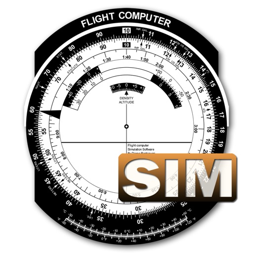
A utility simulates an E6B slide ruler for aircraft pilots. Perform conversions, wind corrections for low and high speed. Rotate, slide, and pinch zoom for precise control. Includes three calculation modes.
Practice instrument flying with interactive modules
Learn instrument flying with interactive modules for ADF/RMI, VOR/ILS, HSI, and IFR procedures. Practice holding patterns and entries through animations and exercises. Use a built-in IFR simulator for training.
Navigation provides flight planning and in-flight calculations. Users can customize quick access buttons, configure units, and manage blocks and airtime.
The app offers VFR and IFR pilots an affordable, capable, and usable electronic flight bag. It provides pilots with necessary information for safe flight, featuring an intuitive interface and pilot-focused support.
Calculate groundspeed, true heading, compass heading, leg time, distance, fuel required, fuel flow, and endurance for flight planning. Convert airspeed, altitude, and temperature.
Access real-time weather radar and wind maps to plan flights . View rain radar and no-fly zone data. Check wind patterns and atmospheric conditions. Navigate flight areas with accurate geographic insights.
Access aviation courses, including FAA handbooks, FAR/AIM, and practice tests. Watch HD/4K videos. Sync with Apple devices. Track progress through interactive lessons. Earn a certificate with structured course content.